
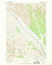
1950 Map of Jamieson
USGS Topo · Published 1952About this map
The agricultural development of Malheur County is clearly visible in the complex irrigation systems of the Vale Main Canal and Owyhee Canal, which transformed the arid Hope Flat landscape during the mid-century. The Union Pacific and Oregon Short Line railroads provide the primary industrial spine of the region, connecting small trackside communities like Jamieson and Dennis. Local life centers around the Willow Creek drainage, where the settlement of Lancaster served as a postal hub for nearby ranchers. Genealogy researchers may find interest in the location of the Bully Creek School and family-named landmarks such as McCarthy Spring or Berman Spring. The terrain transitions from the irrigated flats toward higher ground at Sugarloaf Butte and the dry, carved pathways of Dry Gulch and Alkali Gulch, illustrating the vital importance of water management in this high-desert environment.
Find a feature on this map
47 named features on this map. Tap any name to fly to it.
Don’t see what you’re looking for? This feature index may not catch every label — zoom into the map to look around manually.
Map Details
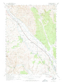
Editions of this 1950 Jamieson Map
3 editions found
Other maps of this area

1906 · Mitchell Butte
USGS Topo · 1:125,000

1951 · Moores Hollow
USGS Topo · 1:62,500

1951 · Huntington
USGS Topo · 1:62,500

1952 · Olds Ferry
USGS Topo · 1:24,000

1952 · Olds Ferry
USGS Topo · 1:62,500

1955 · Baker
USGS Topo · 1:250,000

1955 · Boise
USGS Topo · 1:250,000

1958 · Boise
USGS Topo · 1:250,000

1959 · Baker
USGS Topo · 1:250,000

1962 · Boise
USGS Topo · 1:250,000