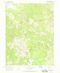
1967 Map of Jamison Ridge
USGS Topo · Published 1969About this map
The Middle Fork Eel River snakes through this Mendocino County landscape, carving a deep canyon between Jamison Ridge and Jarbow Ridge. This late 1960s survey captures the area's transition into a remote ranching and recreation zone, anchored by the Eden Valley Ranch and its associated Landing Strip. The presence of several family-named landmarks like Thrash Ranch and Marks Place suggests the persistence of private landholdings in the rugged terrain between Round Valley and the southern ridges.
Find a feature on this map
41 named features on this map. Tap any name to fly to it.
Don’t see what you’re looking for? This feature index may not catch every label — zoom into the map to look around manually.
Map Details
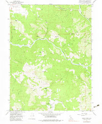
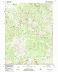
Editions of this 1967 Jamison Ridge Map
3 editions found
Other maps of this area

1920 · Covelo
USGS Topo · 1:62,500

1926 · Covelo
USGS Topo · 1:62,500

1929 · Eden Valley
USGS Topo · 1:62,500

1951 · Laytonville
USGS Topo · 1:62,500

1952 · Spyrock
USGS Topo · 1:62,500

1952 · Eden Valley
USGS Topo · 1:62,500

1952 · Covelo
USGS Topo · 1:62,500

1957 · Ukiah
USGS Topo · 1:250,000

1960 · Ukiah
USGS Topo · 1:250,000
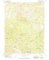
1966 · Sanhedrin Mtn
USGS Topo · 1:24,000