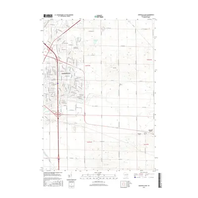
2016 Map of Janesville East
USGS Topo · Published 2016About this map
Janesville's eastern residential expansion and the surrounding Rock County agricultural landscape are the primary focus of this 2016 survey. The terrain is characterized by the prominent rise of Mt Zion and the winding course of Blackhawk Creek, which cuts through the central sections of the map. Suburban development in the west contrasts sharply with the open rural acreage to the east, where the small settlement of Emerald Grove remains a distinct community node.
Find a feature on this map
143 named features on this map. Tap any name to fly to it.
Don’t see what you’re looking for? This feature index may not catch every label — zoom into the map to look around manually.
Map Details
Editions of this 2016 Janesville East Map
This is the sole edition of this map. No revisions or reprints were ever made.
Other maps of this area

1890 · Stoughton
USGS Topo · 1:62,500

1891 · Koshkonong
USGS Topo · 1:62,500

1891 · Janesville
USGS Topo · 1:62,500

1893 · Janesville
USGS Topo · 1:62,500

1893 · Shopiere
USGS Topo · 1:62,500

1894 · Koshkonong
USGS Topo · 1:62,500

1906 · Koshkonong
USGS Topo · 1:62,500

1954 · Rockford
USGS Topo · 1:250,000

1955 · Rockford
USGS Topo · 1:250,000

1958 · Rockford
USGS Topo · 1:250,000