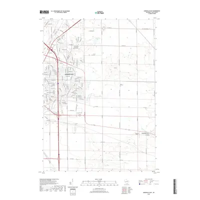
2018 Map of Janesville East
USGS Topo · Published 2018About this map
Janesville is shown during a period of modern expansion in Rock County, where dense residential street networks meet the agricultural landscape of southern Wisconsin. The eastern edge of the city is defined by commercial corridors along Milton Ave and Humes Rd, while established local landmarks like Spauldings Pond and Mt Zion break the surrounding topography. To the east, the settlement of Emerald Grove maintains its distinct character near the Emerald Grove Cem. The map reveals the intricate drainage patterns of Spring Brook and Blackhawk Cr as they navigate the transition from developed neighborhoods to open fields. For those tracing local heritage, the inclusion of Mount Zion Cem and the Hacklander Airport provides specific points of interest within the evolving suburban and rural layout.
Find a feature on this map
141 named features on this map. Tap any name to fly to it.
Don’t see what you’re looking for? This feature index may not catch every label — zoom into the map to look around manually.
Map Details
Editions of this 2018 Janesville East Map
This is the sole edition of this map. No revisions or reprints were ever made.
Other maps of this area

1890 · Stoughton
USGS Topo · 1:62,500

1891 · Koshkonong
USGS Topo · 1:62,500

1891 · Janesville
USGS Topo · 1:62,500

1893 · Janesville
USGS Topo · 1:62,500

1893 · Shopiere
USGS Topo · 1:62,500

1894 · Koshkonong
USGS Topo · 1:62,500

1906 · Koshkonong
USGS Topo · 1:62,500

1954 · Rockford
USGS Topo · 1:250,000

1955 · Rockford
USGS Topo · 1:250,000

1958 · Rockford
USGS Topo · 1:250,000