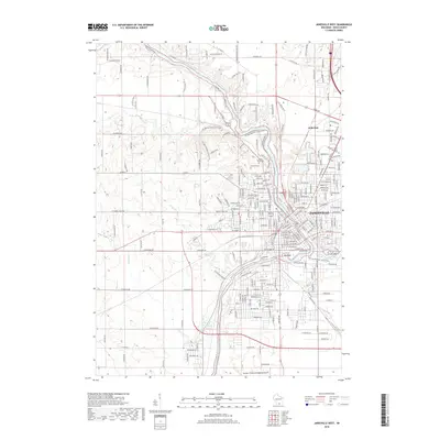
2018 Map of Janesville West
USGS Topo · Published 2018About this map
Janesville and the settlement of Anderson dominate this modern topographic survey, illustrating the urbanization of Rock County along the winding path of the Rock River. The industrial and transportation legacy of the region is evident in the corridors of the Chicago and North Western railroad and the extensive facilities of the Southern Wisconsin Regional Airp to the south. Historically significant sites like Mount Olivet Cem and Oak Hill Cem provide essential anchor points for genealogists, while recreational features such as Lions Beach and the distinctive Big Rock formation highlight the landscape's character. Significant water bodies, including Marsh Cr, Fisher Cr, and Spring Brook, define the drainage patterns that shaped early development in the area before the expansion of the modern street grid and suburban developments like Arbor Ridge.
Find a feature on this map
242 named features on this map. Tap any name to fly to it.
Don’t see what you’re looking for? This feature index may not catch every label — zoom into the map to look around manually.
Map Details
Editions of this 2018 Janesville West Map
This is the sole edition of this map. No revisions or reprints were ever made.
Other maps of this area

1890 · Stoughton
USGS Topo · 1:62,500

1891 · Koshkonong
USGS Topo · 1:62,500

1891 · Janesville
USGS Topo · 1:62,500

1893 · Janesville
USGS Topo · 1:62,500

1893 · Shopiere
USGS Topo · 1:62,500

1894 · Koshkonong
USGS Topo · 1:62,500

1906 · Koshkonong
USGS Topo · 1:62,500

1954 · Rockford
USGS Topo · 1:250,000

1955 · Rockford
USGS Topo · 1:250,000

1958 · Rockford
USGS Topo · 1:250,000