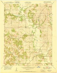
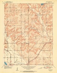
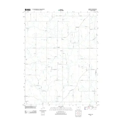
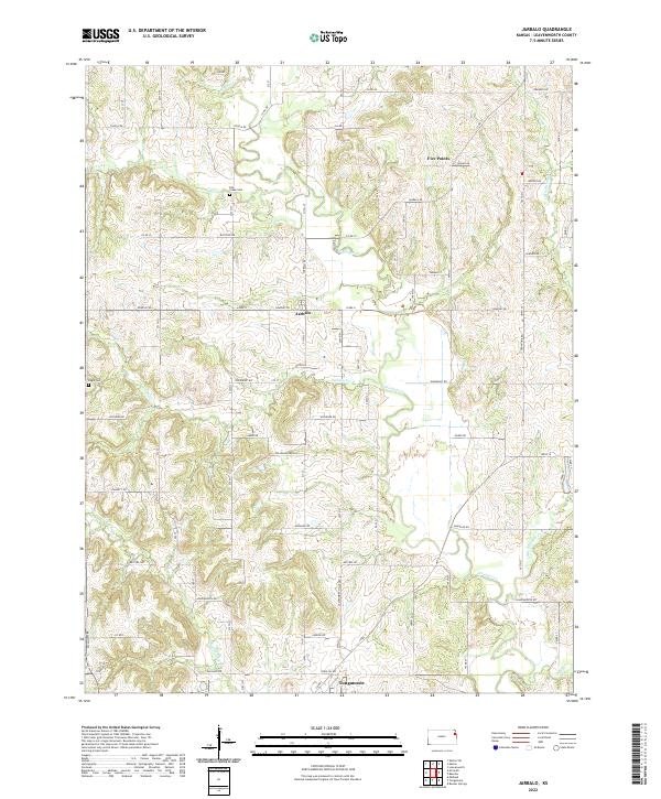
1950 Map of Jarbalo
USGS Topo · Published 1950About this map
The unincorporated community of Jarbalo serves as the focal point for this mid-century survey of rural Leavenworth County. Settled within the drainages of Stranger Creek and its many tributaries, the landscape is defined by its small-town civic infrastructure. The area is densely populated with neighborhood schoolhouses, including Centennial School, Elmwood School, and Skaggs School, alongside the Friendship Valley School to the south.
Find a feature on this map
26 named features on this map. Tap any name to fly to it.
Don’t see what you’re looking for? This feature index may not catch every label — zoom into the map to look around manually.
Map Details
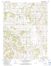
Editions of this 1950 Jarbalo Map
2 editions found
Historical Maps of Jarbalo Through Time
15 maps found
1948 Jarbalo
Leavenworth County, KS
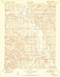
1950 Jarbalo
Leavenworth County, KS
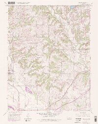
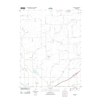
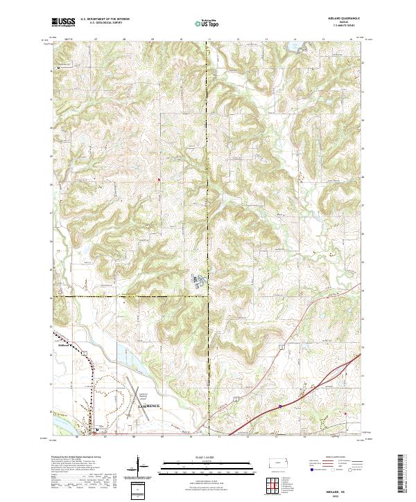
1950 Midland
Leavenworth County, KS
1951 Midland
Leavenworth County, KS
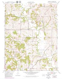
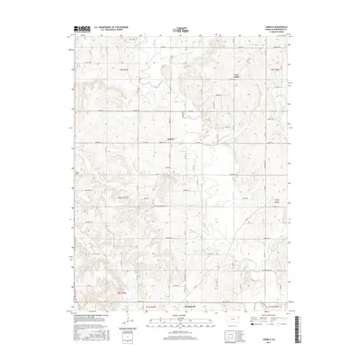
1984 Jarbalo
Leavenworth County, KS
2009 Jarbalo
Leavenworth County, KS
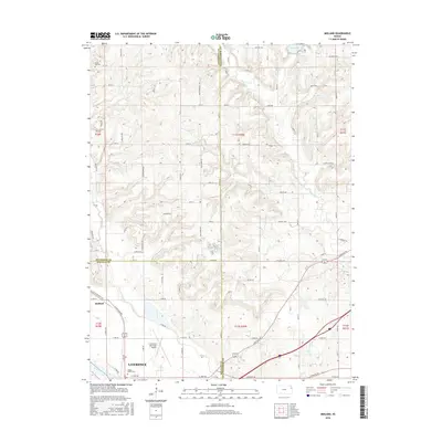
2010 Midland
Leavenworth County, KS
2012 Jarbalo
Leavenworth County, KS
2012 Midland
Leavenworth County, KS
2015 Jarbalo
Leavenworth County, KS
2016 Midland
Leavenworth County, KS
2018 Jarbalo
Leavenworth County, KS
2018 Midland
Leavenworth County, KS
2022 Jarbalo
Leavenworth County, KS
2022 Midland
Leavenworth County, KS