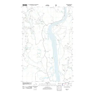
2011 Map of Jared
USGS Topo · Published 2011About this map
The Pend Oreille River carves a wide path through this northern Washington landscape, anchoring a corridor of small settlements including Jared, Locke, and Cecil. This 2011 survey documents a mix of industrial and recreational activity along the river valley, from the Silver King Mine near Ruby Mountain in the north to the Riverside Camp and River Bend Airport further south. The map reveals a complex network of forest and local roads, such as Leclerc Rd N and Westside Calispell Rd, that connect isolated waterfront locations like Babbitz Landing. Water management is evident through features like the Heater Pond Dam and Tacoma Sportsman Pond Dam, while the rugged eastern terrain is marked by the prominent Gibraltar Rock overlooking the river bends.
Find a feature on this map
40 named features on this map. Tap any name to fly to it.
Don’t see what you’re looking for? This feature index may not catch every label — zoom into the map to look around manually.
Map Details
Editions of this 2011 Jared Map
This is the sole edition of this map. No revisions or reprints were ever made.
Other maps of this area
1934 · Metaline
USGS Topo · 1:125,000
1936 · Newport
USGS Topo · 1:96,000
1942 · Metaline
USGS Topo · 1:125,000
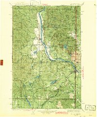
1942 · Newport
USGS Topo · 1:125,000
1958 · Sandpoint
USGS Topo · 1:250,000
1963 · Sandpoint
USGS Topo · 1:250,000
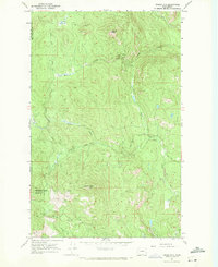
1967 · Timber Mtn.
USGS Topo · 1:24,000
1967 · North Baldy
USGS Topo · 1:24,000
1967 · Ruby
USGS Topo · 1:24,000
1968 · Cusick
USGS Topo · 1:24,000