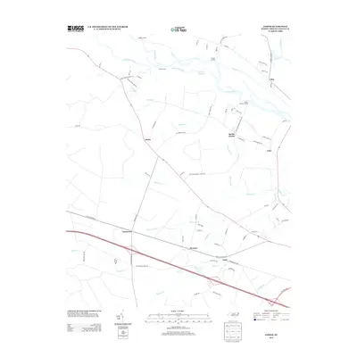
2013 Map of Jasper
USGS Topo · Published 2013About this map
The Neuse River defines the northern reaches of this landscape, its banks dotted with historic access points like Redhill Landing, Shell Landing, and Cowpen Landing. These landings, alongside the Greens Thorofare, suggest a long-standing relationship with the water for transportation and commerce. Inland, the settlement of Jasper serves as a central hub where the road network converges, surrounded by smaller communities such as Spring Garden and Lima.
Find a feature on this map
85 named features on this map. Tap any name to fly to it.
Don’t see what you’re looking for? This feature index may not catch every label — zoom into the map to look around manually.
Map Details
Editions of this 2013 Jasper Map
This is the sole edition of this map. No revisions or reprints were ever made.
Other maps of this area

1901 · New Bern
USGS Topo · 1:62,500

1902 · Ayden
USGS Topo · 1:62,500

1902 · Vanceboro
USGS Topo · 1:62,500

1903 · New Bern
USGS Topo · 1:62,500

1903 · Trent River
USGS Topo · 1:62,500

1904 · Ayden
USGS Topo · 1:62,500

1904 · Trent River
USGS Topo · 1:62,500

1904 · Vanceboro
USGS Topo · 1:62,500

1905 · Vanceboro
USGS Topo · 1:62,500

1950 · Pollocksville
USGS Topo · 1:24,000