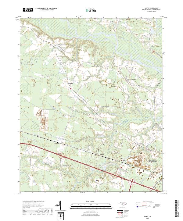
2022 Map of Jasper
USGS Topo · Published 2022About this map
The Neuse River and its intricate tributaries, such as Greens Thorofare and Taylor Creek, define the northern reaches of this coastal plain landscape. Small settlements and rural road networks anchor the region, with Jasper and Tuscarora serving as central points for local commerce and community life. The presence of Great Dover Swamp in the southwest highlights the low-lying, water-dominant nature of Craven County, which has historically influenced settlement patterns and agriculture.
Find a feature on this map
63 named features on this map. Tap any name to fly to it.
Don’t see what you’re looking for? This feature index may not catch every label — zoom into the map to look around manually.
Map Details
Editions of this 2022 Jasper Map
This is the sole edition of this map. No revisions or reprints were ever made.
Other maps of this area

1901 · New Bern
USGS Topo · 1:62,500

1902 · Ayden
USGS Topo · 1:62,500

1902 · Vanceboro
USGS Topo · 1:62,500

1903 · New Bern
USGS Topo · 1:62,500

1903 · Trent River
USGS Topo · 1:62,500

1904 · Ayden
USGS Topo · 1:62,500

1904 · Trent River
USGS Topo · 1:62,500

1904 · Vanceboro
USGS Topo · 1:62,500

1905 · Vanceboro
USGS Topo · 1:62,500

1950 · Pollocksville
USGS Topo · 1:24,000