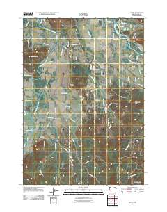
2011 Map of Jasper
USGS Topo · Published 2011About this map
The Coast Fork Willamette River and Middle Fork Willamette River converge in this valley landscape, anchoring small communities and rural settlements like Jasper and Cloverdale. In the early 21st century, the area remains defined by its distinct clusters of population and historical burial grounds, including Pleasant Hill Cemetery and Sellers Cemetery. The transition between the river lowlands and the surrounding heights is marked by prominent landmarks like Short Mountain, Sellers Butte, and Rattlesnake Butte. This era of the landscape shows a dense network of country roads such as Edenvale Rd and Jasper Lowell Rd connecting the Pleasant Hill Post Office to outlying areas. The geography here is specifically tied to the forks of the river and the creeks that feed them, including Papenfus Creek and Rattlesnake Creek, which have dictated the placement of homesteads and hamlets like Dougren for generations.
Find a feature on this map
91 named features on this map. Tap any name to fly to it.
Don’t see what you’re looking for? This feature index may not catch every label — zoom into the map to look around manually.
Map Details
Editions of this 2011 Jasper Map
This is the sole edition of this map. No revisions or reprints were ever made.
Other maps of this area
1910 · Eugene
USGS Topo · 1:62,500
1921 · Cottage Grove
USGS Topo · 1:62,500
1935 · Lowell
USGS Topo · 1:96,000
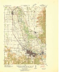
1940 · Eugene
USGS Topo · 1:62,500
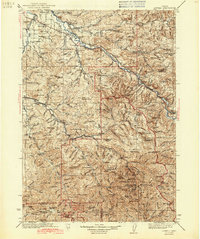
1942 · Lowell
USGS Topo · 1:125,000
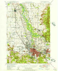
1946 · Eugene
USGS Topo · 1:62,500
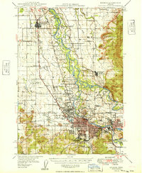
1949 · Eugene
USGS Topo · 1:62,500
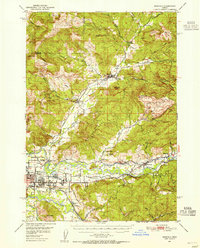
1950 · Marcola
USGS Topo · 1:62,500
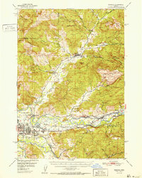
1952 · Marcola
USGS Topo · 1:62,500

1953 · Salem
USGS Topo · 1:250,000