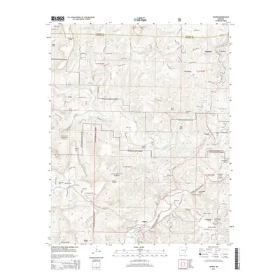
2014 Map of Jasper
USGS Topo · Published 2014About this map
The Little Buffalo River winds through the heart of this Newton County landscape, where the town of Jasper serves as a central hub for the surrounding Ozark communities. This 2014 survey reveals a geography defined by the deeply incised valleys of the Buffalo National River and the extensive protected reaches of the Ozark National Forest. The map document reflects a long history of upland settlement, preserved in the form of numerous small cemeteries like Adair Cem, Young Cem, and Cherry Grove Cem that are tucked away near old creek drainages.
Find a feature on this map
130 named features on this map. Tap any name to fly to it.
Don’t see what you’re looking for? This feature index may not catch every label — zoom into the map to look around manually.
Map Details
Editions of this 2014 Jasper Map
This is the sole edition of this map. No revisions or reprints were ever made.
Other maps of this area

1904 · Harrison
USGS Topo · 1:125,000

1905 · Harrison
USGS Topo · 1:125,000

1933 · Mt Judea
USGS Topo · 1:62,500

1940 · Mt Judea
USGS Topo · 1:62,500

1945 · Harrison
USGS Topo · 1:250,000

1949 · Harrison
USGS Topo · 1:250,000

1954 · Harrison
USGS Topo · 1:250,000

1956 · Russellville
USGS Topo · 1:250,000

1958 · Harrison
USGS Topo · 1:250,000

1964 · Russellville
USGS Topo · 1:250,000