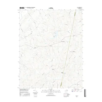
2016 Map of Java
USGS Topo · Published 2016About this map
Java and the surrounding crossroads of southern Virginia are defined by a network of rural routes and creek valleys near the Pittsylvania and Halifax county line. The landscape is deeply etched by waterways like Elkhorn Cr, which feeds into Elkhorn Lake, and the meandering Banister River in the northwest. This 2016 survey captures the traditional settlement patterns of the region, where small communities like Peytonsburg, Lucks, and Ebenezer sit atop ridges between drainage basins. Local history and genealogy are anchored by landmarks such as the County Line Cem and the naming of historic points like Henrys Mill and Pickaway. The map provides a precise look at the modern road network, including Yeatts Store Rd and Chaneys Store Rd, which continue to connect these agricultural hamlets across the rolling terrain of the Virginia Piedmont.
Find a feature on this map
61 named features on this map. Tap any name to fly to it.
Don’t see what you’re looking for? This feature index may not catch every label — zoom into the map to look around manually.
Map Details
Editions of this 2016 Java Map
This is the sole edition of this map. No revisions or reprints were ever made.
Other maps of this area

1921 · Chatham
USGS Topo · 1:48,000

1923 · Danville
USGS Topo · 1:48,000

1923 · Chatham
USGS Topo · 1:62,500

1925 · Danville
USGS Topo · 1:62,500

1952 · Milton
USGS Topo · 1:62,500

1953 · Greensboro
USGS Topo · 1:250,000

1954 · Greensboro
USGS Topo · 1:250,000

1954 · Riceville
USGS Topo · 1:62,500

1956 · Milton
USGS Topo · 1:62,500

1962 · Greensboro
USGS Topo · 1:250,000