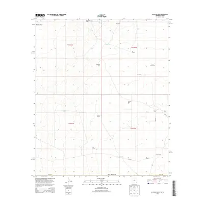
2013 Map of Javelina Basin
USGS Topo · Published 2013About this map
Medlin Place and a network of remote ranching outposts define this corner of the Chihuahuan Desert landscape in southeastern New Mexico. The terrain is characterized by broad basins and seasonal drainages, most notably the winding course of Antelope Draw and the distinctive Javelina Basin. Life in this arid region is centered on water management, evidenced by a high density of specialized infrastructure such as Kammeyer Tanks, Croft Tank, and the Natural Tank.
Find a feature on this map
26 named features on this map. Tap any name to fly to it.
Don’t see what you’re looking for? This feature index may not catch every label — zoom into the map to look around manually.
Map Details
Editions of this 2013 Javelina Basin Map
This is the sole edition of this map. No revisions or reprints were ever made.
Other maps of this area

1954 · Hobbs
USGS Topo · 1:250,000

1954 · Pecos
USGS Topo · 1:250,000

1957 · Pecos
USGS Topo · 1:250,000

1958 · Hobbs
USGS Topo · 1:250,000

1969 · Jal NW
USGS Topo · 1:24,000

1969 · Jal
USGS Topo · 1:24,000

1970 · Brunson Ranch
USGS Topo · 1:24,000

1970 · Cheyenne Draw
USGS Topo · 1:24,000

1970 · Kermit NW
USGS Topo · 1:24,000

1973 · Javelina Basin
USGS Topo · 1:24,000