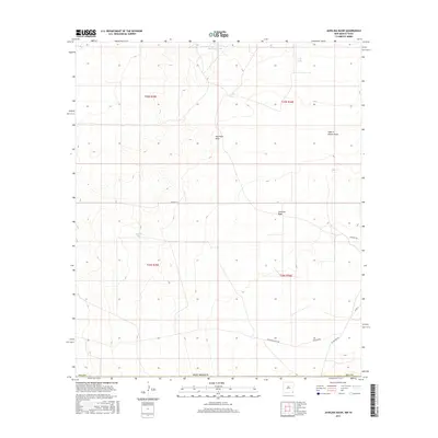
2017 Map of Javelina Basin
USGS Topo · Published 2017About this map
Javelina Basin and the surrounding desert rangelands of Lea County are defined by an arid topography where water management and ranching operations dictate the human footprint. The landscape is marked by essential livestock watering points such as Kammerer Tanks, Croft Tank, and Natural Tank, which are critical nodes in this dry environment. Drainages like Antelope Draw and the distinctively named Fight in Hollow Draw reveal the natural flow of the terrain toward the basin floor. A sparse network of ranching roads, including Beckham Ranch Rd and Frying Pan Rd, connects these isolated water sources and homesteads. This 2017 survey illustrates the enduring reliance on traditional water-catchment infrastructure in modern New Mexico ranching, where the survival of the local economy remains tied to these specific, named geographic depressions and man-made tanks.
Find a feature on this map
19 named features on this map. Tap any name to fly to it.
Don’t see what you’re looking for? This feature index may not catch every label — zoom into the map to look around manually.
Map Details
Editions of this 2017 Javelina Basin Map
This is the sole edition of this map. No revisions or reprints were ever made.
Other maps of this area

1954 · Hobbs
USGS Topo · 1:250,000

1954 · Pecos
USGS Topo · 1:250,000

1957 · Pecos
USGS Topo · 1:250,000

1958 · Hobbs
USGS Topo · 1:250,000

1969 · Jal NW
USGS Topo · 1:24,000

1969 · Jal
USGS Topo · 1:24,000

1970 · Brunson Ranch
USGS Topo · 1:24,000

1970 · Cheyenne Draw
USGS Topo · 1:24,000

1970 · Kermit NW
USGS Topo · 1:24,000

1973 · Javelina Basin
USGS Topo · 1:24,000