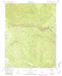
1947 Map of Jawbone Ridge
USGS Topo · Published 1979About this map
Stanislaus National Forest land defines the landscape of this 1947 survey, where deep river canyons and steep ridges dictate the pattern of settlement. The Tuolumne River and its Middle Fork and South Fork tributaries carve through the terrain, with infrastructure like the Hetch Hetchy Aqueduct (Tunnel) cutting through the granite below. Human activity is concentrated around scattered mountain flats and resource outposts, notably at Smith Station and Buck Meadows.
Find a feature on this map
49 named features on this map. Tap any name to fly to it.
Don’t see what you’re looking for? This feature index may not catch every label — zoom into the map to look around manually.
Map Details
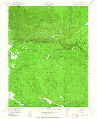
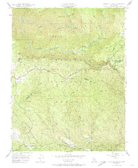
Editions of this 1947 Jawbone Ridge Map
3 editions found
Other maps of this area

1893 · Sonora
USGS Topo · 1:125,000

1896 · Sonora
USGS Topo · 1:125,000

1897 · Sonora
USGS Topo · 1:125,000

1897 · Yosemite
USGS Topo · 1:125,000

1898 · Sonora
USGS Topo · 1:125,000

1900 · Yosemite
USGS Topo · 1:125,000

1903 · Yosemite
USGS Topo · 1:125,000

1909 · Yosemite
USGS Topo · 1:125,000

1947 · San Jose
USGS Topo · 1:250,000

1947 · Mariposa
USGS Topo · 1:250,000