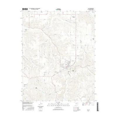
2016 Map of Jay
USGS Topo · Published 2016About this map
Jay serves as the central hub for this portion of Delaware County, showing a detailed street grid including W Cherokee St and W Washbourne St. The surrounding landscape is defined by the sharp relief of the Ozark plateau, where numerous named hollows like Muskrat Hollow and Woodward Hollow feed into local waterways. The settlement pattern follows these natural contours, with Zena situated in the north and New Eucha to the southwest.
Find a feature on this map
87 named features on this map. Tap any name to fly to it.
Don’t see what you’re looking for? This feature index may not catch every label — zoom into the map to look around manually.
Map Details
Editions of this 2016 Jay Map
This is the sole edition of this map. No revisions or reprints were ever made.
Other maps of this area

1899 · Siloam Springs
USGS Topo · 1:125,000

1903 · Siloam Springs
USGS Topo · 1:125,000

1904 · Siloam Springs
USGS Topo · 1:125,000

1907 · Wyandotte
USGS Topo · 1:125,000

1909 · Wyandotte
USGS Topo · 1:125,000

1954 · Tulsa
USGS Topo · 1:250,000

1958 · Tulsa
USGS Topo · 1:250,000

1963 · Tulsa
USGS Topo · 1:250,000

1964 · Dodge
USGS Topo · 1:24,000

1971 · Kenwood
USGS Topo · 1:24,000