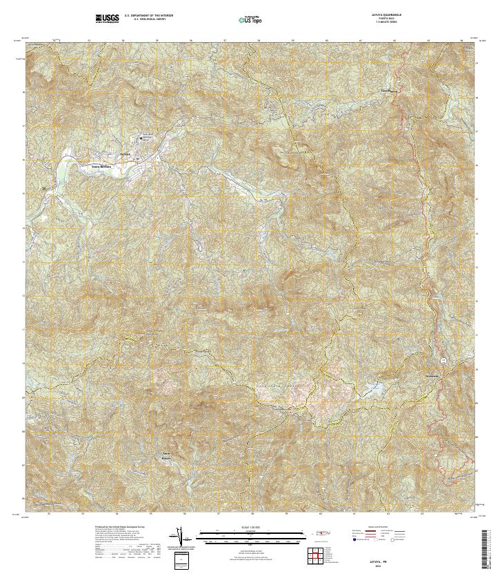
2024 Map of Jayuya
USGS Topo · Published 2024About this map
Jayuya occupies the valley floor of the Río Grande de Jayuya, surrounded by the high-elevation peaks of the Cordillera Central. This survey captures the intricate topography of the island's interior, where the Cementerio Municipal Jayuya and the neighboring settlement of Santa Bárbara sit against the steep ascent toward Monte Jayuya. The landscape is defined by its verticality, with mountain landmarks like Los Tres Picachos and Cerro Maravillas looming over the river valleys. To the east, the waters of Lago El Guineo collect at the headwaters of the Río Toro Negro, illustrating the region's importance for local water management. Small rural communities like Anon, Raices, and Casa Blanca are linked by the winding courses of PR-144 and PR-143, tracing a human geography that follows the difficult contours of the Puerto Rican highlands.
Find a feature on this map
52 named features on this map. Tap any name to fly to it.
Don’t see what you’re looking for? This feature index may not catch every label — zoom into the map to look around manually.
Map Details
Editions of this 2024 Jayuya Map
This is the sole edition of this map. No revisions or reprints were ever made.
Other maps of this area

1945 · Ponce
USGS Topo · 1:30,000

1945 · Rio Descalabrado
USGS Topo · 1:30,000

1946 · Utuado
USGS Topo · 1:30,000

1946 · Ciales
USGS Topo · 1:30,000

1946 · Jayuya
USGS Topo · 1:30,000

1946 · Florida
USGS Topo · 1:30,000

1946 · Orocovis
USGS Topo · 1:30,000

1946 · Penuelas
USGS Topo · 1:30,000

1946 · Adjuntas
USGS Topo · 1:30,000

1947 · Ponce NE
USGS Topo · 1:10,000
Featured Places
- Jayuya
- Salientito, Jayuya
- Sector El Carajo, Jayuya
- Sector Estancias del Indio, Jayuya
- Sector La Cuesta, Jayuya