Loading...
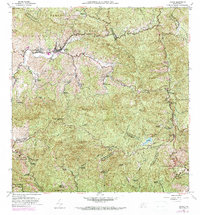
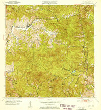
Loading map...1960 Map of Jayuya
USGS Topo · Published 1982About this map
Jayuya sits at the heart of the Cordillera Central, where the Rio Grande de Jayuya and Rio Saliente carve deep paths through the high peaks. This 1960 revision, updated with 1977 aerial data, documents a landscape dominated by historic coffee estates and high-altitude terrain, including Cerro de Punta, the island's highest elevation. The density of named haciendas, such as Hacienda Carmelita and Hacienda Santa Rita, illustrates the enduring importance of the agricultural economy in this mountainous interior.
Find a feature on this map
77 named features on this map. Tap any name to fly to it.
Don’t see what you’re looking for? This feature index may not catch every label — zoom into the map to look around manually.
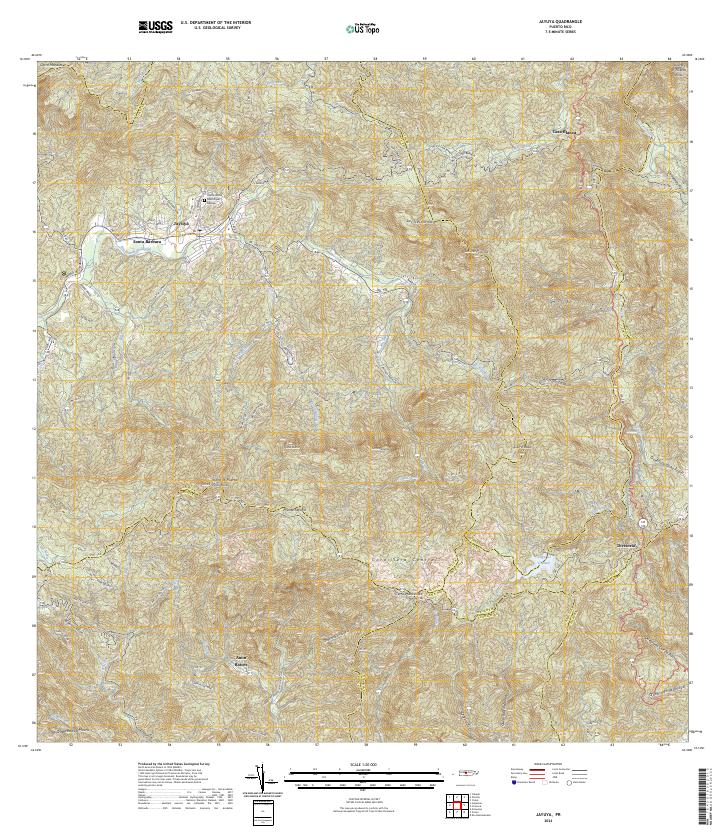
Map Details
Date Portrayed1960
Date Published1982
PublisherU.S. Geological Survey
Map TypeTopographic
Scale1:20,000
Physical Dimensions29.5 x 31.7 inches
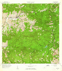
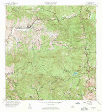
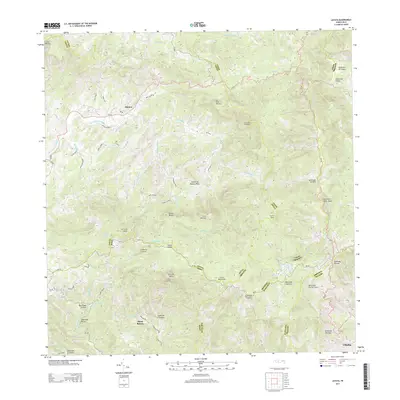
Editions of this 1960 Jayuya Map
3 editions found
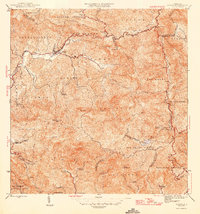
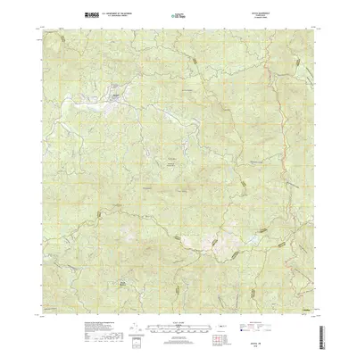
Historical Maps of Jayuya Through Time
6 maps found
Featured Locations
- Salientito, Jayuya
- Sector El Carajo, Jayuya
- Sector Estancias del Indio, Jayuya
- Jayuya, Jayuya
- Villa Canonal, Jayuya
Source Details
SourceU.S. Geological Survey
CopyrightPublic Domain