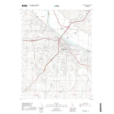
2017 Map of Jefferson City
USGS Topo · Published 2017About this map
Jefferson City serves as the focal point of this survey, where the Missouri River separates the capital from the lowlands of North Jefferson and Cedar City. The landscape reflects a deeply established civic and educational identity, anchored by the campus of Lincoln Univ and significant local landmarks like the Jefferson City Memorial Airport. The map documents a dense network of historical burial sites, including the Woodland Old City Cem and both locations of Saint Peters Cem Number 1 and Number 2, which provide essential points of reference for genealogists.
Find a feature on this map
236 named features on this map. Tap any name to fly to it.
Don’t see what you’re looking for? This feature index may not catch every label — zoom into the map to look around manually.
Map Details
Editions of this 2017 Jefferson City Map
This is the sole edition of this map. No revisions or reprints were ever made.
Other maps of this area

1886 · Jefferson City
USGS Topo · 1:125,000

1888 · Tuscumbia
USGS Topo · 1:125,000

1894 · Tuscumbia
USGS Topo · 1:125,000

1894 · Jefferson City
USGS Topo · 1:125,000

1939 · Jefferson City
USGS Topo · 1:24,000

1939 · Jefferson City
USGS Topo · 1:62,500

1942 · Jefferson City
USGS Topo · 1:62,500

1947 · Jefferson City
USGS Topo · 1:250,000

1948 · Centertown
USGS Topo · 1:62,500

1948 · Meta
USGS Topo · 1:62,500
Featured Places
- Jefferson City, MO
- Holts Summit, MO
- Wardsville, MO
- North Jefferson, Jefferson City
- Cole Junction, Jefferson City