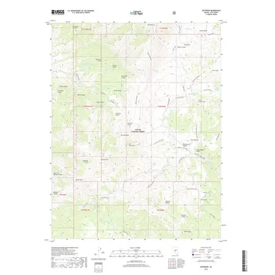
2018 Map of Jefferson
USGS Topo · Published 2018About this map
Mt Jefferson anchors the high country of the Toquima Range within the Toiyabe National Forest, defining a landscape of deep canyons and seasonal water sources. The drainage network is complex, characterized by numerous named canyons such as Jefferson Canyon, Berlin Canyon, and Mogul Canyon that carry runoff into creeks like Jefferson Cr and the Antone Silver Creek.
Find a feature on this map
72 named features on this map. Tap any name to fly to it.
Don’t see what you’re looking for? This feature index may not catch every label — zoom into the map to look around manually.
Map Details
Editions of this 2018 Jefferson Map
This is the sole edition of this map. No revisions or reprints were ever made.
Other maps of this area

1907 · Tonopah
USGS Topo · 1:250,000

1908 · Tonopah
USGS Topo · 1:250,000

1956 · Tonopah
USGS Topo · 1:250,000

1959 · Tonopah
USGS Topo · 1:250,000

1962 · Tonopah
USGS Topo · 1:250,000

1971 · Belmont East
USGS Topo · 1:24,000

1971 · Corcoran Canyon
USGS Topo · 1:24,000

1971 · Manhattan
USGS Topo · 1:24,000

1971 · Belmont West
USGS Topo · 1:24,000

1971 · Jefferson
USGS Topo · 1:24,000