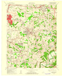
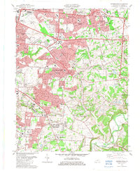
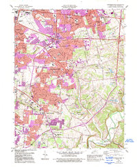
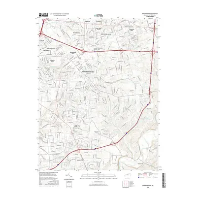
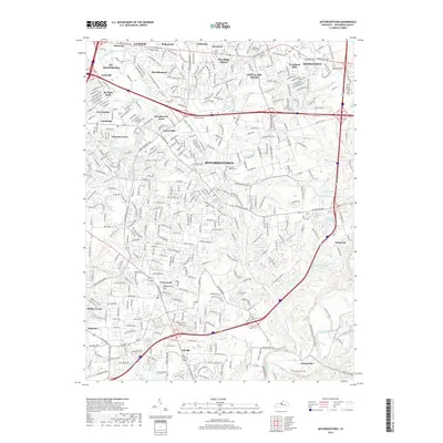
1960 Map of Jeffersontown
USGS Topo · Published 1961About this map
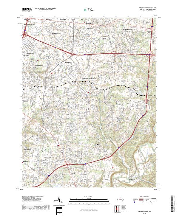
Jeffersontown and the expanding eastern suburbs of Louisville reflect a transitional landscape in the early 1960s, where traditional rural landmarks meet post-war residential growth. The sheet captures established communities such as Middletown, Fern Creek, and Bellemeade before the full density of late-twentieth-century sprawl. Evidence of the area's older social fabric remains visible in institutional sites like the Spring Meadows Childrens Home and the County Home, alongside numerous family and community burial grounds including Bullitt Cem and the Chenoweth Run Cem.
Find a feature on this map
59 named features on this map. Tap any name to fly to it.
Don’t see what you’re looking for? This feature index may not catch every label — zoom into the map to look around manually.
Map Details
Editions of this 1960 Jeffersontown Map
This is the sole edition of this map. No revisions or reprints were ever made.
Historical Maps of Louisville Through Time
11 maps found
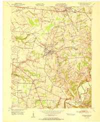
1951 Jeffersontown
Jefferson County, KY
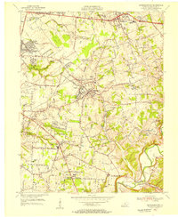
1955 Jeffersontown
Jefferson County, KY
1960 Jeffersontown
Jefferson County, KY
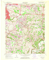
1964 Jeffersontown
Jefferson County, KY
1982 Jeffersontown
Jefferson County, KY
1984 Jeffersontown
Jefferson County, KY
2010 Jeffersontown
Jefferson County, KY
2013 Jeffersontown
Jefferson County, KY
2016 Jeffersontown
Jefferson County, KY
2019 Jeffersontown
Jefferson County, KY
2022 Jeffersontown
Jefferson County, KY