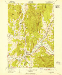
1948 Map of Jeffersonville
USGS Topo · Published 1953About this map
The Lamoille River and its major tributaries, the North Branch and Brewster River, define the topographical character of this Lamoille County landscape as it appeared in the late 1940s. The village of Jeffersonville serves as a primary hub, situated near the confluence of several waterways and the St Johnsbury and Lamoille County railroad line. This rail corridor follows the river valley, connecting smaller settlements like Cambridge Junction and Cambridge.
Find a feature on this map
38 named features on this map. Tap any name to fly to it.
Don’t see what you’re looking for? This feature index may not catch every label — zoom into the map to look around manually.
Map Details
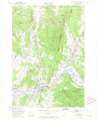
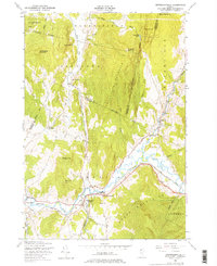
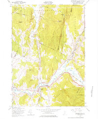
Editions of this 1948 Jeffersonville Map
4 editions found
Other maps of this area

1919 · Montgomery
USGS Topo · 1:62,500

1920 · Franklin Pond
USGS Topo · 1:62,500

1920 · Montgomery
USGS Topo · 1:62,500

1922 · Enosburg Falls
USGS Topo · 1:48,000

1924 · Enosburg Falls
USGS Topo · 1:62,500

1925 · Jay Peak
USGS Topo · 1:62,500

1925 · Mount Mansfield
USGS Topo · 1:48,000

1927 · Mount Mansfield
USGS Topo · 1:62,500

1927 · Hyde Park
USGS Topo · 1:48,000

1930 · Hyde Park
USGS Topo · 1:62,500