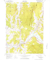
1948 Map of Jeffersonville
USGS Topo · Published 1976About this map
Lamoille River valley settlements define this post-war landscape, where the St Johnsbury and Lamoille County railroad provides a primary transport corridor through the Green Mountains. The 1948 field check captures several small Vermont communities such as Jeffersonville, East Fletcher, and North Cambridge during a period of steady rural commerce. Local education is represented by the Smiley Sch near the North Branch fork.
Find a feature on this map
43 named features on this map. Tap any name to fly to it.
Don’t see what you’re looking for? This feature index may not catch every label — zoom into the map to look around manually.
Map Details
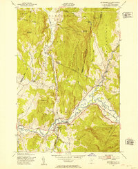
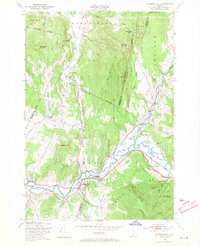
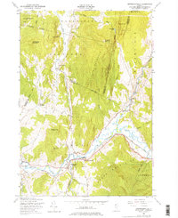
Editions of this 1948 Jeffersonville Map
4 editions found
Other maps of this area

1919 · Montgomery
USGS Topo · 1:62,500

1920 · Franklin Pond
USGS Topo · 1:62,500

1920 · Montgomery
USGS Topo · 1:62,500

1922 · Enosburg Falls
USGS Topo · 1:48,000

1924 · Enosburg Falls
USGS Topo · 1:62,500

1925 · Jay Peak
USGS Topo · 1:62,500

1925 · Mount Mansfield
USGS Topo · 1:48,000

1927 · Mount Mansfield
USGS Topo · 1:62,500

1927 · Hyde Park
USGS Topo · 1:48,000

1930 · Hyde Park
USGS Topo · 1:62,500