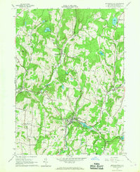
1965 Map of Jeffersonville
USGS Topo · Published 1967About this map
Callicoon Creek and its major tributaries, the North Branch and East Branch, carve through the Sullivan County landscape, anchoring the mid-1960s settlements of Jeffersonville, Youngsville, and North Branch. The map reveals a community defined by its schools and churches, including the Jeffersonville-Youngsville Central Sch and St Pauls Ch. Aviation presence is noted at Skytop Airport in the north, while the upland areas are dotted with family-named landmarks like Swiss Hill and Mandrake Hill.
Find a feature on this map
64 named features on this map. Tap any name to fly to it.
Don’t see what you’re looking for? This feature index may not catch every label — zoom into the map to look around manually.
Map Details
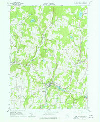
Editions of this 1965 Jeffersonville Map
2 editions found
Other maps of this area

1920 · Long Eddy
USGS Topo · 1:62,500

1920 · Damascus
USGS Topo · 1:62,500

1921 · Long Eddy
USGS Topo · 1:48,000

1921 · Livingston Manor
USGS Topo · 1:62,500

1922 · White Lake
USGS Topo · 1:62,500

1923 · Damascus
USGS Topo · 1:62,500

1923 · Long Eddy
USGS Topo · 1:62,500

1923 · Livingston Manor
USGS Topo · 1:62,500

1942 · White Lake
USGS Topo · 1:62,500

1943 · Honesdale
USGS Topo · 1:125,000