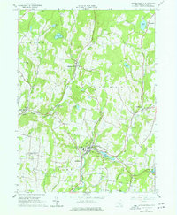
1965 Map of Jeffersonville
USGS Topo · Published 1977About this map
Jeffersonville sits at the confluence of the North Branch Callicoon Creek and Laundry Brook in this mid-1960s topographic study. The landscape is a network of small dairy-era hamlets and family-named terrain, where the dairy-farming legacy of Sullivan County is visible through numerous cemeteries and country churches like St Pauls Ch in Callicoon Center. The terrain is characterized by high points such as Swiss Hill and Mandrake Hill, while the valley floors are dotted with small ponds and reservoirs like Lake Jefferson and Anawanda Lake. The inclusion of Skytop Airport at the northern edge and the Jeffersonville-Youngsville Central Sch reflects the mid-century modernization of these rural Catskill communities. Numerous gravel pits and quarries are scattered throughout the hills, indicating the local extraction industry that supported the expansion of roads like Hubert Road and Swiss Road.
Find a feature on this map
69 named features on this map. Tap any name to fly to it.
Don’t see what you’re looking for? This feature index may not catch every label — zoom into the map to look around manually.
Map Details
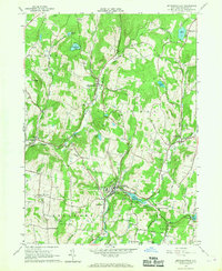
Editions of this 1965 Jeffersonville Map
2 editions found
Other maps of this area

1920 · Long Eddy
USGS Topo · 1:62,500

1920 · Damascus
USGS Topo · 1:62,500

1921 · Long Eddy
USGS Topo · 1:48,000

1921 · Livingston Manor
USGS Topo · 1:62,500

1922 · White Lake
USGS Topo · 1:62,500

1923 · Damascus
USGS Topo · 1:62,500

1923 · Long Eddy
USGS Topo · 1:62,500

1923 · Livingston Manor
USGS Topo · 1:62,500

1942 · White Lake
USGS Topo · 1:62,500

1943 · Honesdale
USGS Topo · 1:125,000