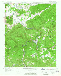
1953 Map of Jellico East
USGS Topo · Published 1967About this map
The Kentucky Tennessee state line bisects this landscape, where the Louisville and Nashville railroad winds through the steep valleys of the Cumberland Plateau. Small settlements like Jellico, Highcliff, and Habersham cling to the low ground along Clear Fork and Hickory Creek, illustrating the rail-dependent development of the mid-20th century. High elevations are defined by massive features like Pine Mountain and Rich Mountain, with gaps such as Gravely Gap and Rich Mountain Gap providing critical passage through the terrain.
Find a feature on this map
59 named features on this map. Tap any name to fly to it.
Don’t see what you’re looking for? This feature index may not catch every label — zoom into the map to look around manually.
Map Details
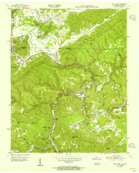
Editions of this 1953 Jellico East Map
2 editions found
Other maps of this area

1886 · Cumberland Gap
USGS Topo · 1:125,000

1888 · Cumberland Gap
USGS Topo · 1:125,000

1890 · Williamsburg
USGS Topo · 1:125,000

1891 · Cumberland Gap
USGS Topo · 1:125,000

1893 · Briceville
USGS Topo · 1:125,000

1894 · Williamsburg
USGS Topo · 1:125,000

1895 · Briceville
USGS Topo · 1:125,000

1896 · Briceville
USGS Topo · 1:125,000

1897 · Maynardville
USGS Topo · 1:125,000

1900 · Maynardville
USGS Topo · 1:125,000