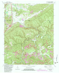
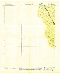
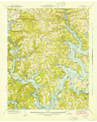
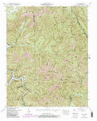
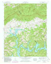
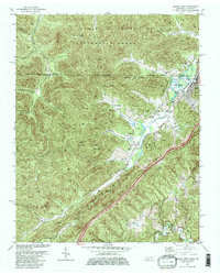
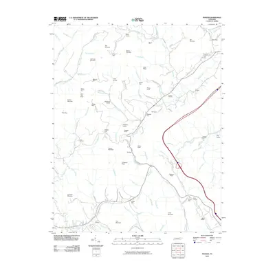
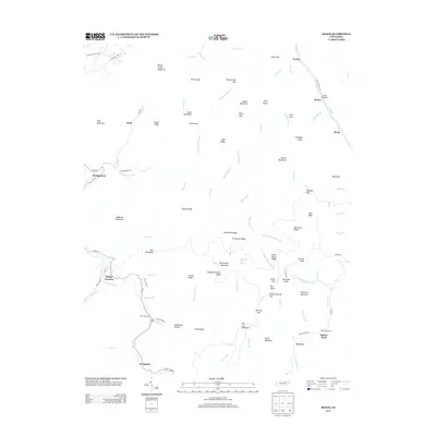
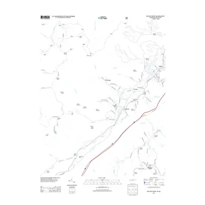
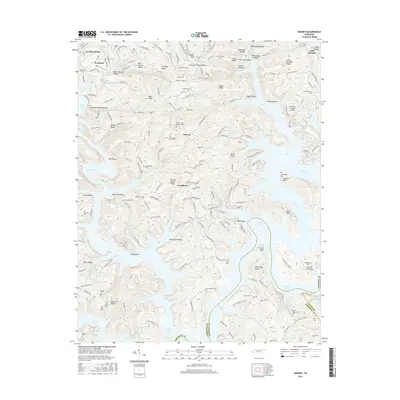
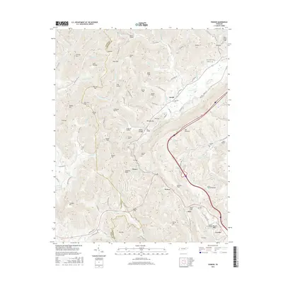
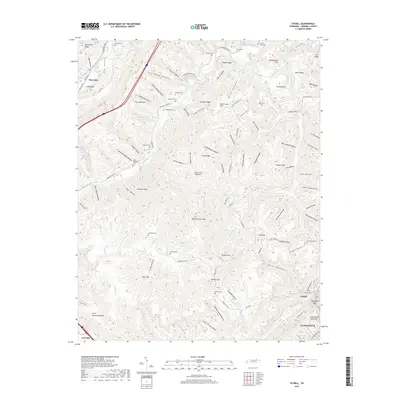
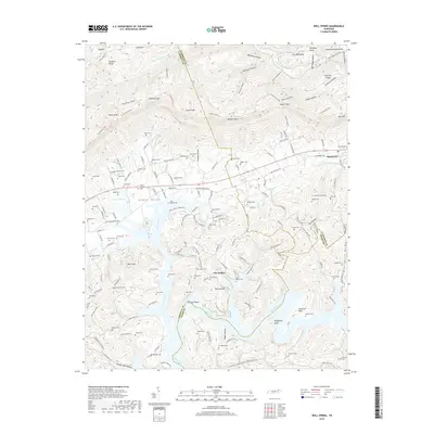
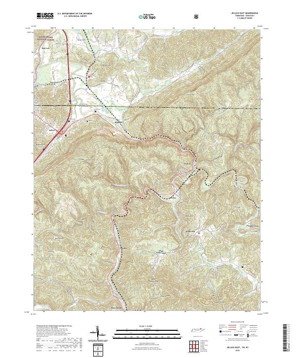
1970 Map of Jellico East
USGS Topo · Published 1983About this map
Pine Mountain dominates this 1970s landscape where the borders of Tennessee and Kentucky meet, marking a terrain defined by coal extraction and deep hollows. The Clear Fork river winds through the center of the sheet, followed closely by the tracks of the Seaboard and Southern railroads. These transit corridors linked the numerous small mining communities and settlements like Habersham, White Oak, and Morley to the larger rail network.
Find a feature on this map
80 named features on this map. Tap any name to fly to it.
Don’t see what you’re looking for? This feature index may not catch every label — zoom into the map to look around manually.
Map Details
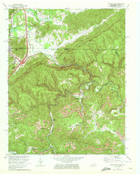
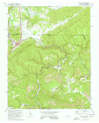
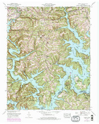
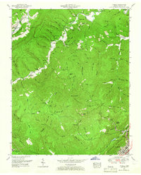
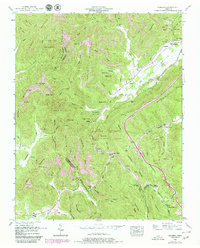
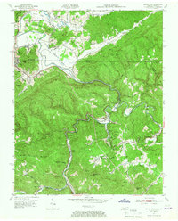
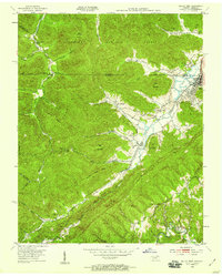
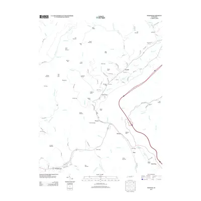
Editions of this 1970 Jellico East Map
3 editions found
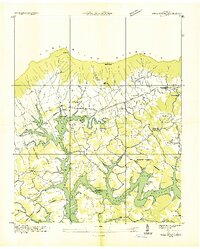
Historical Maps of Jellico Through Time
55 maps found
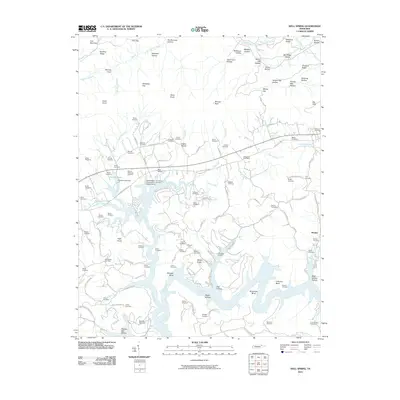
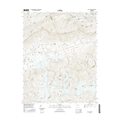
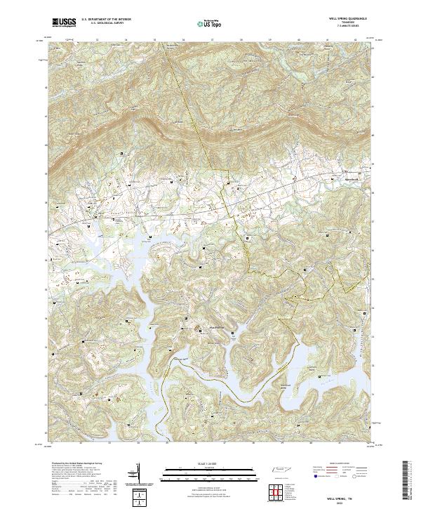
1935 Well Spring
Campbell County, TN
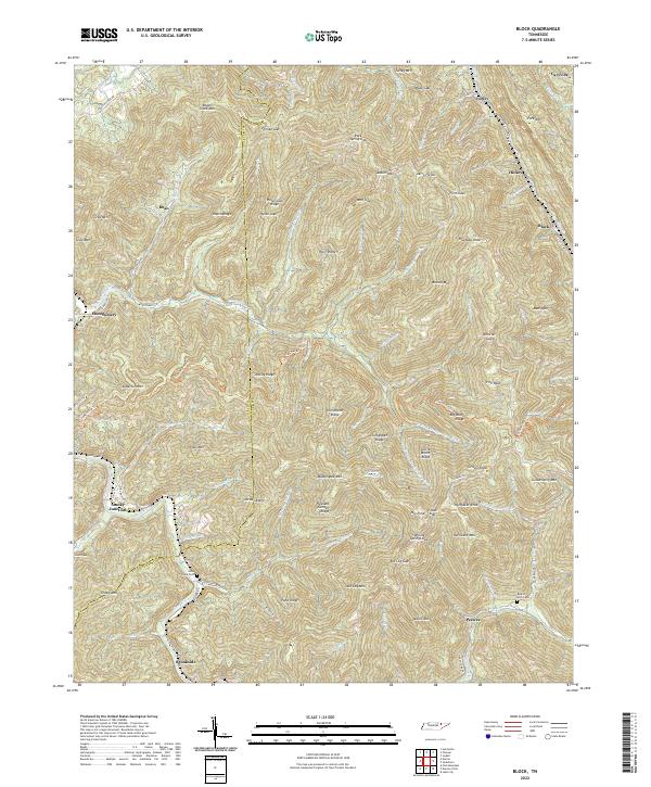
1936 Block
Campbell County, TN
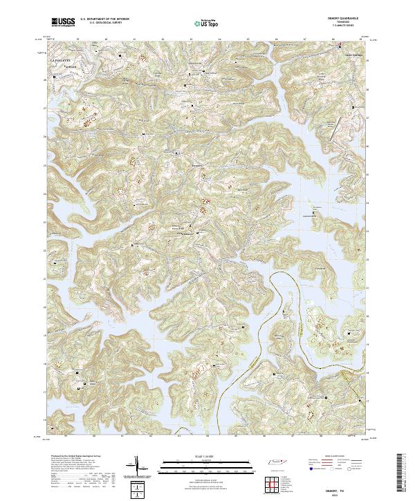
1936 Demory
Campbell County, TN
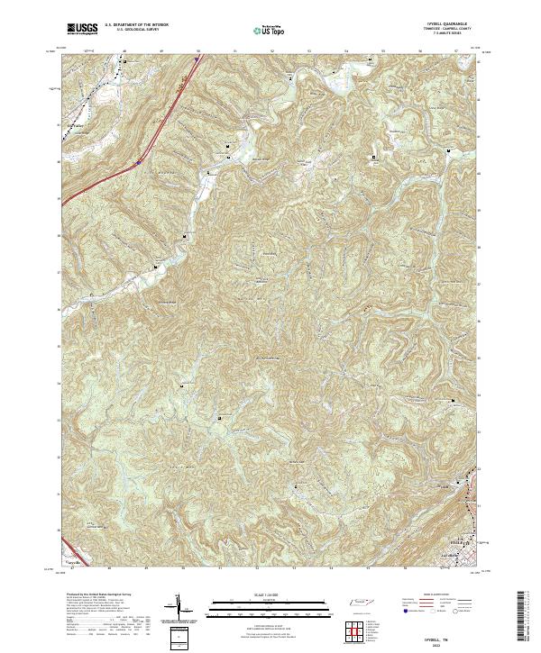
1936 Ivydell
Campbell County, TN
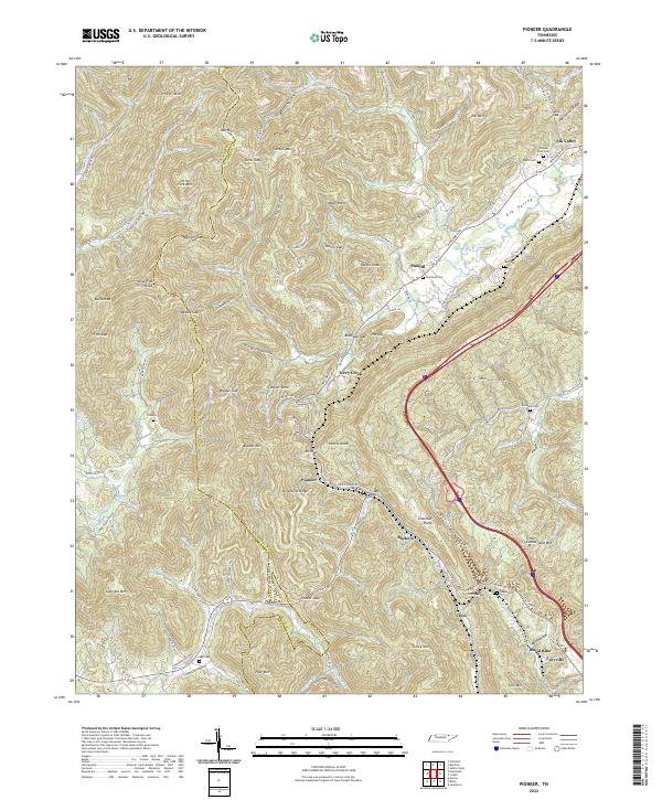
1936 Pioneer
Campbell County, TN
1941 Demory
Campbell County, TN

1942 Well Spring
Campbell County, TN
1946 Block
Campbell County, TN
1946 Ivydell
Campbell County, TN
1946 Pioneer
Campbell County, TN
1952 Block
Campbell County, TN
1952 Demory
Campbell County, TN
1952 Ivydell
Campbell County, TN
1952 Pioneer
Campbell County, TN
1952 Well Spring
Campbell County, TN
1953 Jellico East
Campbell County, TN
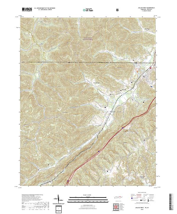
1953 Jellico West
Campbell County, TN
1970 Jellico East
Campbell County, TN
1973 Ivydell
Campbell County, TN
1979 Jellico West
Campbell County, TN
2010 Block
Campbell County, TN
2010 Demory
Campbell County, TN
2010 Ivydell
Campbell County, TN
2010 Pioneer
Campbell County, TN
2010 Well Spring
Campbell County, TN
2011 Jellico East
Campbell County, TN
2011 Jellico West
Campbell County, TN
2013 Block
Campbell County, TN
2013 Demory
Campbell County, TN
2013 Ivydell
Campbell County, TN
2013 Jellico East
Campbell County, TN
2013 Jellico West
Campbell County, TN
2013 Pioneer
Campbell County, TN
2013 Well Spring
Campbell County, TN
2016 Block
Campbell County, TN
2016 Demory
Campbell County, TN
2016 Ivydell
Campbell County, TN
2016 Jellico East
Campbell County, TN
2016 Jellico West
Campbell County, TN
2016 Pioneer
Campbell County, TN
2016 Well Spring
Campbell County, TN
2019 Block
Campbell County, TN
2019 Demory
Campbell County, TN
2019 Ivydell
Campbell County, TN
2019 Jellico East
Campbell County, TN
2019 Jellico West
Campbell County, TN
2019 Pioneer
Campbell County, TN
2019 Well Spring
Campbell County, TN
2022 Block
Campbell County, TN
2022 Demory
Campbell County, TN
2022 Ivydell
Campbell County, TN
2022 Jellico East
Campbell County, TN
2022 Jellico West
Campbell County, TN
2022 Pioneer
Campbell County, TN
2022 Well Spring
Campbell County, TN