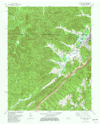
1979 Map of Jellico West
USGS Topo · Published 1980About this map
Extensive mining operations define the landscape along the Kentucky and Tennessee border in the late 1970s, as shown in this detailed survey of the Cumberland Mountains. Surface extraction is pervasive across the ridges of Jellico Mountain and Indian Mountain, where numerous Strip Mines follow the contours above the valleys. The industrial character of the region is further evidenced by the Southern railroad line and an Old Railroad Grade that once served the remote hollows. Small communities like Wooldridge, Oswego, and Newcomb are concentrated in the lower elevations near Elk Creek, surrounded by local landmarks like Lookout Tower on Wolf Knob. For genealogists, the map is a dense record of family history, capturing several isolated burial sites such as Beard Cem, Archer Cem, and Davis Cem alongside rural congregations at Oswego Ch and Stanfill Ch.
Find a feature on this map
80 named features on this map. Tap any name to fly to it.
Don’t see what you’re looking for? This feature index may not catch every label — zoom into the map to look around manually.
Map Details
Editions of this 1979 Jellico West Map
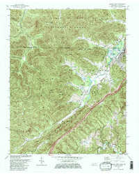
2 editions found
Other maps of this area

1890 · Williamsburg
USGS Topo · 1:125,000

1893 · Briceville
USGS Topo · 1:125,000

1894 · Williamsburg
USGS Topo · 1:125,000

1895 · Briceville
USGS Topo · 1:125,000

1896 · Briceville
USGS Topo · 1:125,000

1936 · Ivydell
USGS Topo · 1:24,000

1936 · Pioneer
USGS Topo · 1:24,000

1936 · La Follette
USGS Topo · 1:48,000
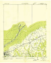
1936 · La Follette
USGS Topo · 1:24,000
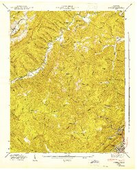
1946 · Ivydell
USGS Topo · 1:24,000