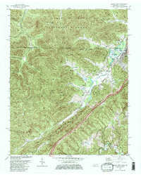
1979 Map of Jellico West
USGS Topo · Published 1980About this map
The rugged coal-bearing hills of the Cumberland Plateau are the focal point of this late-1970s survey, where the Kentucky-Tennessee border cuts through a landscape defined by intensive surface mining and steep ridgelines. Numerous Strip Mines pockmark the terrain around Indian Mountain and Jellico Mountain, reflecting the region's industrial backbone. In the valleys, the Southern railroad line snakes through settlements like Jellico, Newcomb, and Oswego, connecting these mining communities to broader markets. The preservation of the natural environment contrasts with the heavy industry, seen in the boundaries of the Daniel Boone National Forest and Indian Mountain State Forest. For genealogists, the map is a dense resource of family-named hollows and landmarks, including Douglas Cem, Lay Cem, and Melvin Cem, alongside rural landmarks like the Stinking Creek Sch.
Find a feature on this map
60 named features on this map. Tap any name to fly to it.
Don’t see what you’re looking for? This feature index may not catch every label — zoom into the map to look around manually.
Map Details
Editions of this 1979 Jellico West Map
2 editions found
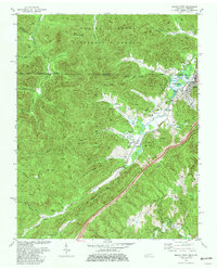
Other maps of this area

1890 · Williamsburg
USGS Topo · 1:125,000

1893 · Briceville
USGS Topo · 1:125,000

1894 · Williamsburg
USGS Topo · 1:125,000

1895 · Briceville
USGS Topo · 1:125,000

1896 · Briceville
USGS Topo · 1:125,000

1936 · Ivydell
USGS Topo · 1:24,000

1936 · Pioneer
USGS Topo · 1:24,000

1936 · La Follette
USGS Topo · 1:48,000
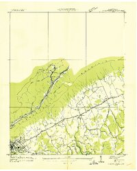
1936 · La Follette
USGS Topo · 1:24,000
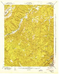
1946 · Ivydell
USGS Topo · 1:24,000