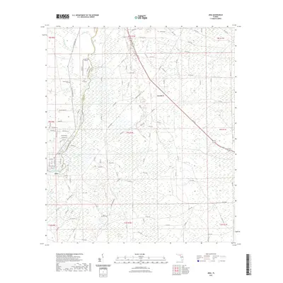
2021 Map of Jena
USGS Topo · Published 2021About this map
The Steinhatchee River forms a natural corridor through this coastal Florida landscape, marking the boundary between Taylor and Dixie Counties. The settlement of Jena sits near the river's bend, serving as a focal point for a region characterized by extensive wetlands, including Pumpkin Swamp and Pine Log Swamp. The transport network is defined by a rigid grid of rural avenues and specialized routes like the Dixie Mainline and Turner Main Line Rd, which cut through the low-lying terrain. Local heritage is preserved at sites such as Mount Olive Cem, Steinhatchee Cem, and Mingo Cem. The inclusion of the Ancient Oaks Airport and the Steinhatchee Blueway Trl reflects the modern intersection of private aviation and recreational conservation in this riverine environment.
Find a feature on this map
123 named features on this map. Tap any name to fly to it.
Don’t see what you’re looking for? This feature index may not catch every label — zoom into the map to look around manually.
Map Details
Editions of this 2021 Jena Map
This is the sole edition of this map. No revisions or reprints were ever made.
Other maps of this area

1954 · Steinhatchee SW
USGS Topo · 1:24,000

1954 · Cross City West
USGS Topo · 1:24,000

1954 · Clara
USGS Topo · 1:24,000

1954 · Salem SW
USGS Topo · 1:24,000

1954 · Mallory Swamp SW
USGS Topo · 1:24,000

1954 · Jena
USGS Topo · 1:24,000

1954 · Steinhatchee
USGS Topo · 1:24,000

1954 · Steinhatchee SE
USGS Topo · 1:24,000

1954 · Cross City SW
USGS Topo · 1:24,000

1954 · Gainesville
USGS Topo · 1:250,000