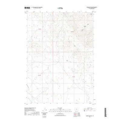
2017 Map of Jenkins Mountain
USGS Topo · Published 2017About this map
The Owl Creek Mountains dominate this high-desert terrain in northern Wyoming, where sharp topographic relief defines the landscape. Landmarks like Jenkins Mtn and the prominent Twin Buttes provide clear navigational markers across the township grid. The drainage pattern is led by Cottonwood Cr, which winds south through the central portion of the map, joined by various ephemeral flows including those from Miners Gulch and Trail Canyon.
Find a feature on this map
14 named features on this map. Tap any name to fly to it.
Don’t see what you’re looking for? This feature index may not catch every label — zoom into the map to look around manually.
Map Details
Editions of this 2017 Jenkins Mountain Map
This is the sole edition of this map. No revisions or reprints were ever made.
Other maps of this area

1950 · Pavillion Butte
USGS Topo · 1:24,000

1950 · Harris Bridge
USGS Topo · 1:24,000

1950 · Mexican Pass SW
USGS Topo · 1:24,000

1950 · Shotgun Butte
USGS Topo · 1:24,000

1951 · Mexican Pass
USGS Topo · 1:24,000

1951 · Jenkins Mountain
USGS Topo · 1:24,000

1952 · Kates Basin
USGS Topo · 1:24,000

1952 · Sheep Ridge
USGS Topo · 1:24,000

1955 · Thermopolis
USGS Topo · 1:250,000
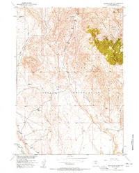
1957 · Jenkins Mountain
USGS Topo · 1:24,000