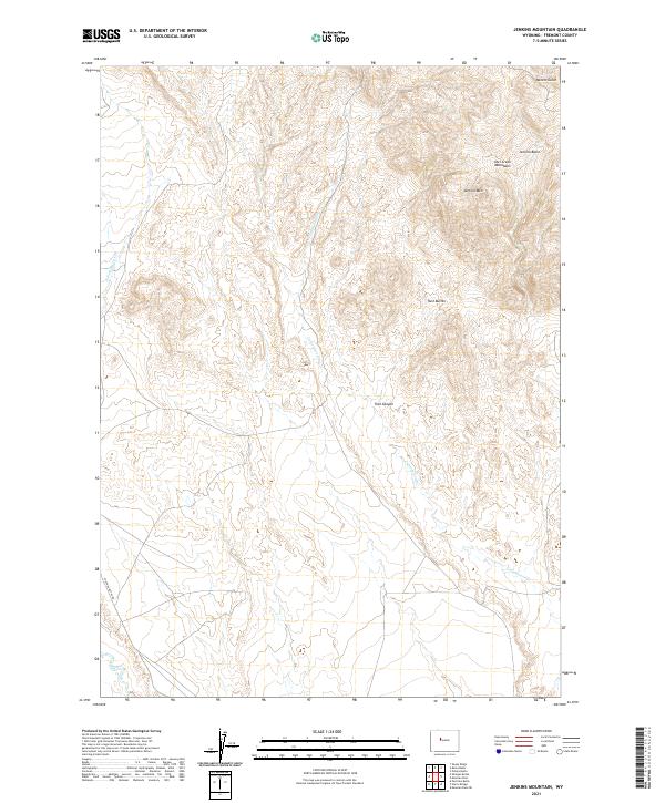
2021 Map of Jenkins Mountain
USGS Topo · Published 2021About this map
The Owl Creek Mountains dominate this high-desert landscape in Fremont County, where the topography transitions from the steep rise of Jenkins Mtn and Twin Buttes down into deep drainage systems. The northern portion of the map is defined by the high elevations of Jenkins Basin and the incision of Miners Gulch, indicating a terrain where water movement and erosion have long shaped the land. Transport through this area is largely limited to the western edge along Shotgun Butte Rd, a primary access point into this remote stretch of the Wind River Basin. Numerous seasonal and perennial waterways, including Cottonwood Cr, Muddy Creek, and the E Fork Sheep Cr, carve through the basin, while Trail Canyon provides a natural corridor through the ridgelines.
Find a feature on this map
14 named features on this map. Tap any name to fly to it.
Don’t see what you’re looking for? This feature index may not catch every label — zoom into the map to look around manually.
Map Details
Editions of this 2021 Jenkins Mountain Map
This is the sole edition of this map. No revisions or reprints were ever made.
Other maps of this area

1950 · Pavillion Butte
USGS Topo · 1:24,000

1950 · Harris Bridge
USGS Topo · 1:24,000

1950 · Mexican Pass SW
USGS Topo · 1:24,000

1950 · Shotgun Butte
USGS Topo · 1:24,000

1951 · Mexican Pass
USGS Topo · 1:24,000

1951 · Jenkins Mountain
USGS Topo · 1:24,000

1952 · Kates Basin
USGS Topo · 1:24,000

1952 · Sheep Ridge
USGS Topo · 1:24,000

1955 · Thermopolis
USGS Topo · 1:250,000
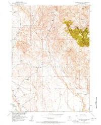
1957 · Jenkins Mountain
USGS Topo · 1:24,000