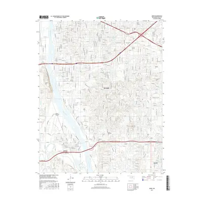
2016 Map of Jenks
USGS Topo · Published 2016About this map
The Arkansas River defines the western corridor of this south Tulsa landscape, where suburban expansion meets significant educational and medical institutions. In the mid-2010s, the sprawl of Tulsa is heavily shaped by the Creek Tpke and E Skelly Dr, facilitating the growth of surrounding communities like Jenks and Bixby. Notable landmarks of the era include the distinctive City of Faith and the expansive campus of Oral Roberts Univ, while regional aviation is anchored by the Richard Lloyd Jones Jr Airport.
Find a feature on this map
35 named features on this map. Tap any name to fly to it.
Don’t see what you’re looking for? This feature index may not catch every label — zoom into the map to look around manually.
Map Details
Editions of this 2016 Jenks Map
This is the sole edition of this map. No revisions or reprints were ever made.
Other maps of this area

1896 · Okmulgee
USGS Topo · 1:125,000

1900 · Okmulgee
USGS Topo · 1:125,000

1901 · Claremore
USGS Topo · 1:125,000

1901 · Nuyaka
USGS Topo · 1:125,000

1912 · Hominy
USGS Topo · 1:125,000

1914 · Kiefer
USGS Topo · 1:62,500

1914 · Claremore
USGS Topo · 1:125,000

1915 · Hominy
USGS Topo · 1:125,000

1916 · Kiefer
USGS Topo · 1:62,500

1916 · Claremore
USGS Topo · 1:125,000