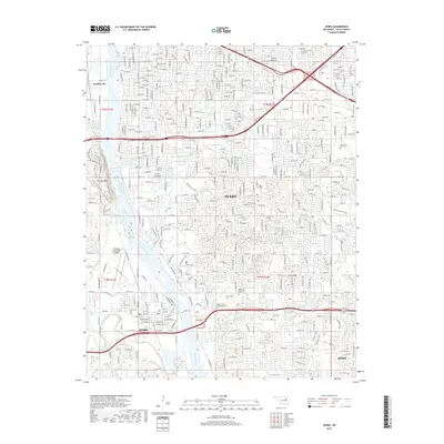
2019 Map of Jenks
USGS Topo · Published 2019About this map
The Arkansas River corridor south of Tulsa serves as the central spine of this 2019 survey, illustrating the modern expansion of Jenks and Bixby. The landscape is a dense network of suburban development and established landmarks, including the prominent City of Faith and ORU University Village campuses. To the west, the elevation rises toward Turkey Mtn, which is crisscrossed by a specialized trail system featuring the Hi-Chi and Techno Millennium Trail.
Find a feature on this map
40 named features on this map. Tap any name to fly to it.
Don’t see what you’re looking for? This feature index may not catch every label — zoom into the map to look around manually.
Map Details
Editions of this 2019 Jenks Map
This is the sole edition of this map. No revisions or reprints were ever made.
Other maps of this area

1896 · Okmulgee
USGS Topo · 1:125,000

1900 · Okmulgee
USGS Topo · 1:125,000

1901 · Claremore
USGS Topo · 1:125,000

1901 · Nuyaka
USGS Topo · 1:125,000

1912 · Hominy
USGS Topo · 1:125,000

1914 · Kiefer
USGS Topo · 1:62,500

1914 · Claremore
USGS Topo · 1:125,000

1915 · Hominy
USGS Topo · 1:125,000

1916 · Kiefer
USGS Topo · 1:62,500

1916 · Claremore
USGS Topo · 1:125,000