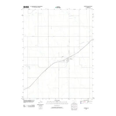
2009 Map of Jennings
USGS Topo · Published 2009About this map
Jennings serves as the central hub of this Decatur County landscape, situated along the banks of Prairie Dog Creek. The town's grid is anchored by N Washington Ave, while the surrounding rural terrain is defined by a systematic network of section roads including Co Rd 530 and Rd 85. The drainage patterns are clearly visible, with the meandering path of Big Timber Creek cutting through the northern reaches of the quadrangle.
Find a feature on this map
9 named features on this map. Tap any name to fly to it.
Don’t see what you’re looking for? This feature index may not catch every label — zoom into the map to look around manually.
Map Details
Editions of this 2009 Jennings Map
This is the sole edition of this map. No revisions or reprints were ever made.
Other maps of this area
1951 · Norcatur
USGS Topo · 1:62,500
1951 · Kanona
USGS Topo · 1:62,500
1954 · Goodland
USGS Topo · 1:250,000
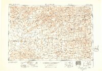
1956 · Goodland
USGS Topo · 1:250,000
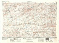
1957 · Goodland
USGS Topo · 1:250,000
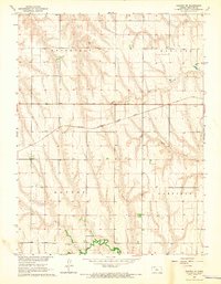
1965 · Kanona SE
USGS Topo · 1:24,000
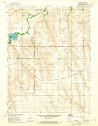
1965 · Kanona
USGS Topo · 1:24,000
1978 · Clayton SW
USGS Topo · 1:24,000
1978 · Clayton
USGS Topo · 1:24,000
1978 · Dresden North
USGS Topo · 1:24,000