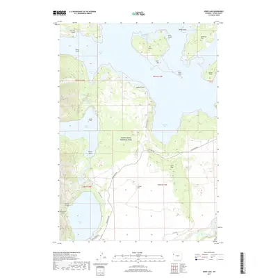
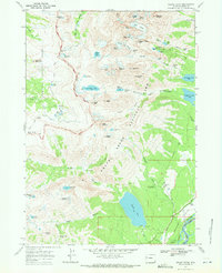
2017 Map of Jenny Lake
USGS Topo · Published 2017About this map
Grand Teton National Park defines this 2017 landscape, showcasing the iconic glacial lakes and dramatic topography of western Wyoming. The map captures the transition from the aquatic expanse of Jackson Lake in the north to the smaller, more intimate basins of Leigh Lake, String Lake, and the namesake Jenny Lake. Major geological and recreational landmarks such as Inspiration Point and Hanging Canyon are clearly documented alongside the complex network of islands, including Elk Island and Marie Island.
Find a feature on this map
38 named features on this map. Tap any name to fly to it.
Don’t see what you’re looking for? This feature index may not catch every label — zoom into the map to look around manually.
Map Details
Editions of this 2017 Jenny Lake Map
This is the sole edition of this map. No revisions or reprints were ever made.
Other maps of this area

1899 · Grand Teton
USGS Topo · 1:125,000

1901 · Grand Teton
USGS Topo · 1:125,000

1955 · Driggs
USGS Topo · 1:250,000

1958 · Driggs
USGS Topo · 1:250,000

1962 · Driggs
USGS Topo · 1:250,000

1968 · Moose
USGS Topo · 1:24,000
1968 · Ranger Peak
USGS Topo · 1:24,000
1968 · Two Ocean Lake
USGS Topo · 1:24,000
1968 · Shadow Mountain
USGS Topo · 1:24,000
1968 · Grand Teton
USGS Topo · 1:24,000