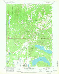
1968 Map of Two Ocean Lake
USGS Topo · Published 1971About this map
Jackson Lake Lodge and Lunch Tree Hill anchor the southern reaches of this landscape, reflecting mid-century tourism and park infrastructure in Wyoming. The survey captures a complex network of waterways and glacial features including Two Ocean Lake, Emma Matilda Lake, and the winding course of Pilgrim Creek. This 1968 study delineates the precise boundaries between Teton National Forest and Grand Teton National Park, while also identifying the Teton Wilderness further north.
Find a feature on this map
31 named features on this map. Tap any name to fly to it.
Don’t see what you’re looking for? This feature index may not catch every label — zoom into the map to look around manually.
Map Details
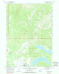
Editions of this 1968 Two Ocean Lake Map
2 editions found
Other maps of this area

1885 · Lake
USGS Topo · 1:125,000

1886 · Shoshone
USGS Topo · 1:125,000

1888 · Shoshone
USGS Topo · 1:125,000

1895 · Shoshone
USGS Topo · 1:125,000

1895 · Lake
USGS Topo · 1:125,000

1896 · Lake
USGS Topo · 1:125,000

1899 · Grand Teton
USGS Topo · 1:125,000

1901 · Shoshone
USGS Topo · 1:125,000

1901 · Lake
USGS Topo · 1:125,000

1901 · Grand Teton
USGS Topo · 1:125,000