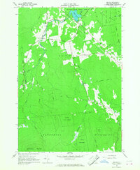
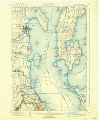
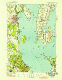
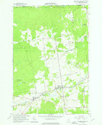
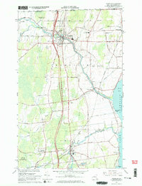
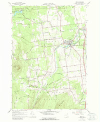
1966 Map of Jericho
USGS Topo · Published 1968This historical map portrays the area of Jericho in 1966, primarily covering Clinton County. Featuring a scale of 1:24000, this map provides a highly detailed snapshot of the terrain, roads, buildings, counties, and historical landmarks in the Jericho region at the time. Published in 1968, it is one of 2 known editions of this map due to revisions or reprints.
Find a feature on this map
34 named features on this map. Tap any name to fly to it.
Don’t see what you’re looking for? This feature index may not catch every label — zoom into the map to look around manually.
Map Details
Editions of this 1966 Jericho Map
2 editions found
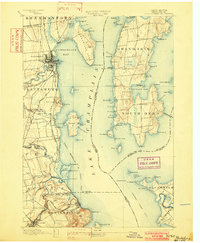
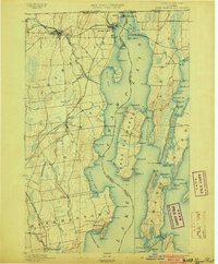
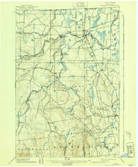
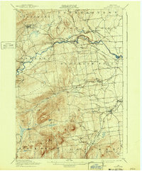
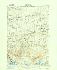
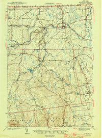
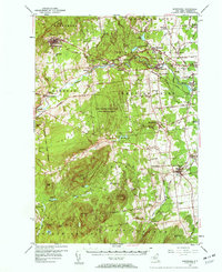
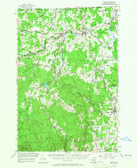
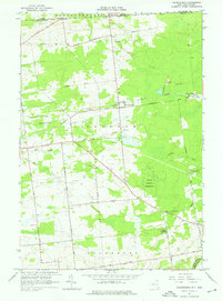
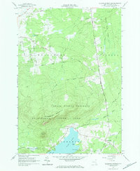
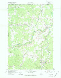
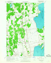
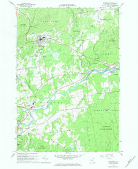
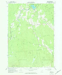
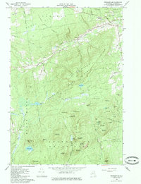
Historical Maps of Ganienkeh Territory (Disputed) Through Time
34 maps found
1894 Plattsburg
Clinton County, NY

1895 Mooers
Clinton County, NY
1895 Rouse Point
Clinton County, NY
1899 Mooers
Clinton County, NY
1906 Plattsburg
Clinton County, NY
1913 Dannemora
Clinton County, NY
1915 Churubusco
Clinton County, NY

1939 Plattsburg
Clinton County, NY

1941 Plattsburg
Clinton County, NY

1942 Mooers
Clinton County, NY

1943 Churubusco
Clinton County, NY
1943 Mooers
Clinton County, NY
1943 Plattsburg
Clinton County, NY
1956 Dannemora
Clinton County, NY
1956 Mooers
Clinton County, NY
1964 Churubusco
Clinton County, NY

1964 Ellenburg Center
Clinton County, NY
1964 Ellenburg Depot
Clinton County, NY
1964 Ellenburg Mountain
Clinton County, NY
1966 Altona
Clinton County, NY
1966 Beekmantown
Clinton County, NY
1966 Champlain
Clinton County, NY
1966 Dannemora
Clinton County, NY
1966 Jericho
Clinton County, NY

1966 Mooers
Clinton County, NY
1966 Peasleeville
Clinton County, NY
1966 Peru
Clinton County, NY

1968 Moffitsville
Clinton County, NY

1977 Cannon Corners Station
Clinton County, NY

1977 Champlain Port of Entry
Clinton County, NY

1977 Churubusco Station
Clinton County, NY
1977 East of Cannon Corners Station
Clinton County, NY

1977 Mooers Station
Clinton County, NY
1986 Lake Champlain North
Clinton County, NY