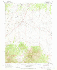
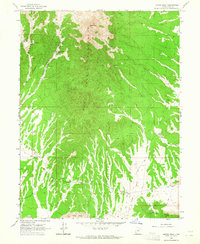
1967 Map of Jericho
USGS Topo · Published 1969About this map
The Union Pacific railroad corridor serves as the primary artery through this arid Utah landscape, passing through the small outpost of Jericho at the northern end of the Tintic Valley. Situated near a Water Tank and a Gravel Pit, the settlement of Jericho represents a critical historical waypoint for rail operations in Juab County. The terrain transitions dramatically from the broad, wash-cut flats of the valley floor to the steep, wooded slopes of the Gilson Mountains in the south, where a high-elevation Corral and numerous winding paths like the Jeep Trail suggest a landscape used for seasonal grazing and resource extraction. The presence of a Prospect near the rail line further underscores the region's connection to the mining and freight economy that defined this part of Utah during the mid-20th century.
Find a feature on this map
13 named features on this map. Tap any name to fly to it.
Don’t see what you’re looking for? This feature index may not catch every label — zoom into the map to look around manually.
Map Details
Editions of this 1967 Jericho Map
This is the sole edition of this map. No revisions or reprints were ever made.
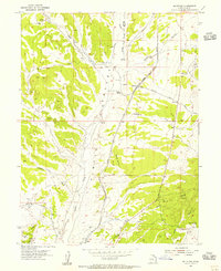
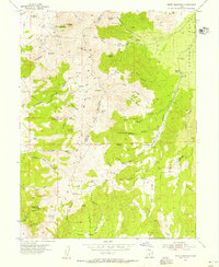
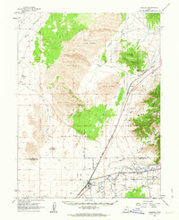
Other maps of this area

1885 · Sevier Desert
USGS Topo · 1:250,000

1953 · Delta
USGS Topo · 1:250,000
1954 · Mc Intyre
USGS Topo · 1:24,000
1954 · Tintic Mountain
USGS Topo · 1:24,000

1958 · Delta
USGS Topo · 1:250,000

1962 · Delta
USGS Topo · 1:250,000
1962 · Lynndyl
USGS Topo · 1:62,500
1963 · Maple Peak
USGS Topo · 1:24,000
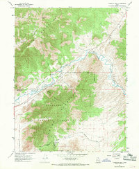
1967 · Champlin Peak
USGS Topo · 1:24,000
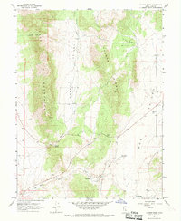
1967 · Furner Ridge
USGS Topo · 1:24,000