
1954 Map of Mc Intyre
USGS Topo · Published 1955About this map
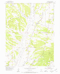
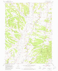
Tintic Valley serves as the central corridor for transportation and settlement in this mid-century look at Juab and Utah Counties. The Union Pacific railroad cuts a straight line through the basin, passing the small settlement of McIntyre and the ranching outpost at Tintic Ranch. To the north, an Old Railroad Grade and the McIntyre Road suggest an evolving transit network connecting these remote desert stations. The landscape is defined by its water sources, including Railroad Springs and Diamond Creek, which were vital for both the railroad and the cattle operations at Jericho. Along the western edge, the terrain rises toward Jericho Ridge and Chambers Wash, while the eastern portion of the sheet is marked by numerous prospects and Gravel Pits, indicating the area's mineral interests during the 1950s.
Find a feature on this map
29 named features on this map. Tap any name to fly to it.
Don’t see what you’re looking for? This feature index may not catch every label — zoom into the map to look around manually.
Map Details
Editions of this 1954 Mc Intyre Map
3 editions found
Other maps of this area

1885 · Sevier Desert
USGS Topo · 1:250,000

1949 · Eureka
USGS Topo · 1:24,000

1953 · Delta
USGS Topo · 1:250,000

1954 · Tintic Mountain
USGS Topo · 1:24,000

1954 · Tintic Junction
USGS Topo · 1:24,000
1954 · Eureka
USGS Topo · 1:24,000

1958 · Delta
USGS Topo · 1:250,000

1962 · Delta
USGS Topo · 1:250,000

1962 · Lynndyl
USGS Topo · 1:62,500

1963 · Maple Peak
USGS Topo · 1:24,000