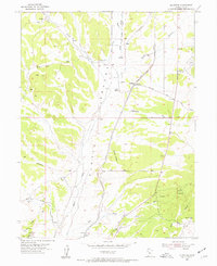
1954 Map of Mc Intyre
USGS Topo · Published 1955About this map
Tintic Valley provides the central axis for this mid-century survey, a landscape defined by ranching, rail history, and the arid hydrology of the Great Basin. The Union Pacific line cuts through the valley, passing the small settlement of McIntyre and the nearby Tintic Ranch. Traces of earlier transportation networks are visible in the Old Railroad Grade and the McIntyre Road, which connected these remote outposts.
Find a feature on this map
29 named features on this map. Tap any name to fly to it.
Don’t see what you’re looking for? This feature index may not catch every label — zoom into the map to look around manually.
Map Details
Editions of this 1954 Mc Intyre Map
3 editions found
Other maps of this area

1885 · Sevier Desert
USGS Topo · 1:250,000

1949 · Eureka
USGS Topo · 1:24,000

1953 · Delta
USGS Topo · 1:250,000

1954 · Mc Intyre
USGS Topo · 1:24,000

1954 · Tintic Mountain
USGS Topo · 1:24,000

1954 · Tintic Junction
USGS Topo · 1:24,000
1954 · Eureka
USGS Topo · 1:24,000

1958 · Delta
USGS Topo · 1:250,000

1962 · Delta
USGS Topo · 1:250,000

1962 · Lynndyl
USGS Topo · 1:62,500