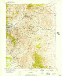
1954 Map of Eureka
USGS Topo · Published 1957About this map
The silver and lead mining landscape of the Tintic Mountains is caught in a moment of transition during this 1954 revision. Centered on the city of Eureka, the map reveals a complex industrial geography where the Denver and Rio Grande Western and Union Pacific railroads navigate high-altitude ridges to serve an intense concentration of shafts and tunnels. Named mining operations like the Tintic Standard No 2 and Iron Blossom No 1 are connected by a network of unimproved roads and a Cable Tram, illustrating the area's subterranean economic engine. Evidence of earlier boom cycles appears in the documented Diamond (Site) and the residential cluster at Dividend. Between the industrial zones, the terrain falls away toward the Goshen Slope, while essential infrastructure like an Aqueduct and numerous springs, such as Gold Bond Spring, support the high-desert community.
Find a feature on this map
172 named features on this map. Tap any name to fly to it.
Don’t see what you’re looking for? This feature index may not catch every label — zoom into the map to look around manually.
Map Details
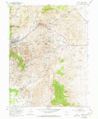
Editions of this 1954 Eureka Map
2 editions found
Other maps of this area

1885 · Salt Lake
USGS Topo · 1:250,000

1885 · Manti
USGS Topo · 1:250,000

1885 · Sevier Desert
USGS Topo · 1:250,000

1885 · Tooele Valley
USGS Topo · 1:250,000

1895 · Manti
USGS Topo · 1:250,000

1947 · Fivemile Pass
USGS Topo · 1:62,500

1947 · Allens Ranch
USGS Topo · 1:24,000

1947 · Boulter Peak
USGS Topo · 1:24,000

1949 · Eureka
USGS Topo · 1:24,000

1949 · Allens Ranch
USGS Topo · 1:24,000