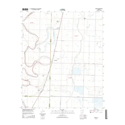
2014 Map of Jerome
USGS Topo · Published 2014About this map
Jerome and the surrounding delta landscape of Chicot and Drew counties are defined by a complex network of meandering waterways. The primary artery, Bayou Bartholomew, winds through the western portion of the map, while Crooked Bayou and Big Bayou dominate the eastern lowlands. This 2014 survey reveals a transition from these historic natural boundaries to the structured grid of Arkansas agriculture, with long, straight roads like AR 144 Hwy W and N Louisiana Blvd cutting across the alluvial plain. For family historians, several burial sites are documented, including Silver Mound Cem and Pleasant Grove Cem. The presence of the Dermott Municipal Airport and the settlement of Hudspeth alongside US 165 Hwy S illustrates how modern transportation corridors have followed the natural high ground between the bayous and the oxbow of Lake Wallace.
Find a feature on this map
48 named features on this map. Tap any name to fly to it.
Don’t see what you’re looking for? This feature index may not catch every label — zoom into the map to look around manually.
Map Details
Editions of this 2014 Jerome Map
This is the sole edition of this map. No revisions or reprints were ever made.
Other maps of this area

1935 · Mist
USGS Topo · 1:62,500

1935 · Cominto
USGS Topo · 1:62,500

1936 · McGehee
USGS Topo · 1:62,500

1936 · Lake Village
USGS Topo · 1:62,500

1937 · McGehee
USGS Topo · 1:62,500

1953 · Greenwood
USGS Topo · 1:250,000

1955 · Lake Village
USGS Topo · 1:62,500

1955 · McGehee
USGS Topo · 1:62,500

1956 · Greenwood
USGS Topo · 1:250,000

1960 · Snyder
USGS Topo · 1:24,000