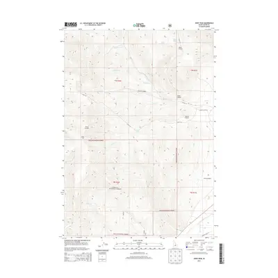
2013 Map of Jerry Peak
USGS Topo · Published 2013About this map
Challis National Forest dominates this high-altitude landscape in Custer County, defined by the sharp rise of Jerry Peak. The topography is etched by a network of drainage systems, including the Big Lost River in the southern reaches and the headwaters of Garden Creek, Pinto Creek, and Burnt Creek. These watercourses flow through deep-cut valleys such as Howell Canyon and Pecks Canyon, where Pecks Canyon Spring provides a critical water source in the arid mountain terrain.
Find a feature on this map
27 named features on this map. Tap any name to fly to it.
Don’t see what you’re looking for? This feature index may not catch every label — zoom into the map to look around manually.
Map Details
Editions of this 2013 Jerry Peak Map
This is the sole edition of this map. No revisions or reprints were ever made.
Other maps of this area

1895 · Hailey
USGS Topo · 1:125,000

1897 · Hailey
USGS Topo · 1:125,000

1929 · Bayhorse
USGS Topo · 1:125,000

1935 · MacKay
USGS Topo · 1:96,000

1935 · Borah Peak
USGS Topo · 1:125,000

1938 · Borah Peak
USGS Topo · 1:125,000

1955 · Dubois
USGS Topo · 1:250,000

1955 · Idaho Falls
USGS Topo · 1:250,000

1955 · Hailey
USGS Topo · 1:250,000

1957 · Challis
USGS Topo · 1:250,000