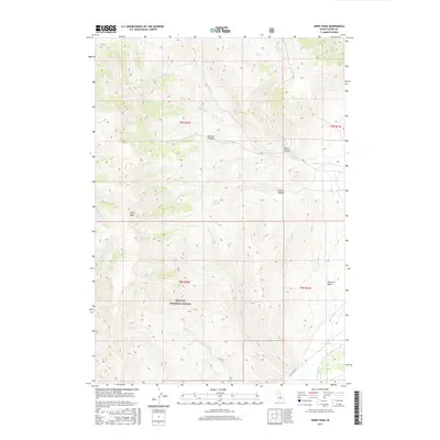
2017 Map of Jerry Peak
USGS Topo · Published 2017About this map
Challis National Forest dominates this section of the Idaho interior, defined by high-altitude drainage systems and the prominent summit of Jerry Peak. The landscape is a network of deep canyons and seasonal water sources, including Sawmill Canyon and Pecks Canyon, which funnel runoff into the larger basin below. Water remains the primary driver of the local geography, with isolated points like Howell Spring and Dean Spring providing rare reliable sources in this high-elevation terrain.
Find a feature on this map
24 named features on this map. Tap any name to fly to it.
Don’t see what you’re looking for? This feature index may not catch every label — zoom into the map to look around manually.
Map Details
Editions of this 2017 Jerry Peak Map
This is the sole edition of this map. No revisions or reprints were ever made.
Other maps of this area

1895 · Hailey
USGS Topo · 1:125,000

1897 · Hailey
USGS Topo · 1:125,000

1929 · Bayhorse
USGS Topo · 1:125,000

1935 · MacKay
USGS Topo · 1:96,000

1935 · Borah Peak
USGS Topo · 1:125,000

1938 · Borah Peak
USGS Topo · 1:125,000

1955 · Dubois
USGS Topo · 1:250,000

1955 · Idaho Falls
USGS Topo · 1:250,000

1955 · Hailey
USGS Topo · 1:250,000

1957 · Challis
USGS Topo · 1:250,000