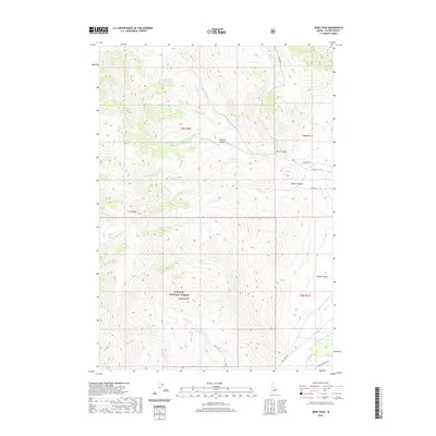
2020 Map of Jerry Peak
USGS Topo · Published 2020About this map
Jerry Peak anchors this high-elevation landscape within the southern reaches of the Challis National Forest. The drainage patterns here are complex, with headwaters including N-Fork Sage Cr, Twin Bridges Cr, and Garden Cr flowing through deep geographic depressions like Sawmill Canyon and Pecks Canyon. These watercourses eventually contribute to the Big Lost River seen in the southeast corner.
Find a feature on this map
28 named features on this map. Tap any name to fly to it.
Don’t see what you’re looking for? This feature index may not catch every label — zoom into the map to look around manually.
Map Details
Editions of this 2020 Jerry Peak Map
This is the sole edition of this map. No revisions or reprints were ever made.
Other maps of this area

1895 · Hailey
USGS Topo · 1:125,000

1897 · Hailey
USGS Topo · 1:125,000

1929 · Bayhorse
USGS Topo · 1:125,000

1935 · MacKay
USGS Topo · 1:96,000

1935 · Borah Peak
USGS Topo · 1:125,000

1938 · Borah Peak
USGS Topo · 1:125,000

1955 · Dubois
USGS Topo · 1:250,000

1955 · Idaho Falls
USGS Topo · 1:250,000

1955 · Hailey
USGS Topo · 1:250,000

1957 · Challis
USGS Topo · 1:250,000