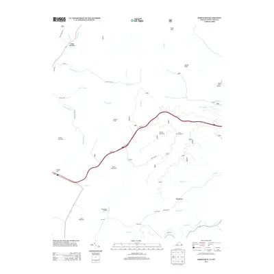
2013 Map of Jerrys Run
USGS Topo · Published 2013About this map
Backbone and Wild Meadow anchor this 2013 topographic study of the Alleghany County highlands. The landscape is defined by its deep hollows and narrow ridges, such as Panther Ridge and Batick Mountain, which dictate the paths of numerous waterways like Slash Lick Run, Jerrys Run, and Moss Run. A notable concentration of subterranean engineering is evident near the southern edge of the sheet, where Kelly Tunnel, Moore Tunnel, and Lake Tunnel indicate industrial or rail transport through the base of the mountains.
Find a feature on this map
35 named features on this map. Tap any name to fly to it.
Don’t see what you’re looking for? This feature index may not catch every label — zoom into the map to look around manually.
Map Details
Editions of this 2013 Jerrys Run Map
This is the sole edition of this map. No revisions or reprints were ever made.
Other maps of this area

1887 · Lewisburg
USGS Topo · 1:125,000

1891 · Lewisburg
USGS Topo · 1:125,000

1921 · Callaghan
USGS Topo · 1:48,000

1921 · White Sulphur Springs
USGS Topo · 1:48,000

1921 · Ronceverte
USGS Topo · 1:48,000

1923 · White Sulphur Springs
USGS Topo · 1:62,500

1923 · Ronceverte
USGS Topo · 1:62,500

1923 · Callaghan
USGS Topo · 1:62,500

1935 · White Sulphur Springs
USGS Topo · 1:62,500

1939 · White Sulphur Springs
USGS Topo · 1:62,500