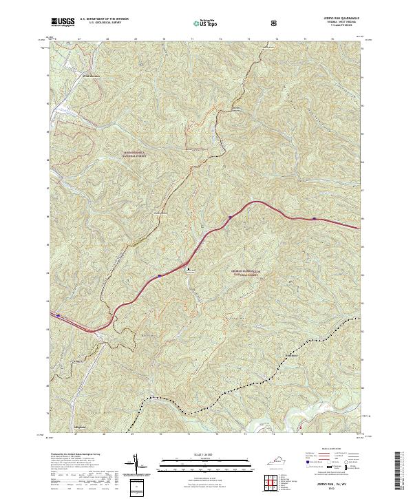
2022 Map of Jerrys Run
USGS Topo · Published 2022About this map
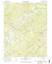
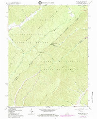
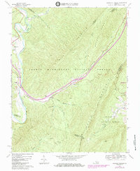
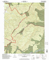
The Allegheny Mountains serve as a dramatic backdrop for this borderland where West Virginia and Virginia meet. The high ridgelines of Batick Mtn and Brushy Mtn define a landscape dominated by the Monongahela National Forest and George Washington National Forest. Settlement is concentrated in the southern valley near Alleghany, where the landscape transitions from steep wooded slopes to narrow hollows like Cannonball Hollow and Pond Suck Hollow.
Find a feature on this map
52 named features on this map. Tap any name to fly to it.
Don’t see what you’re looking for? This feature index may not catch every label — zoom into the map to look around manually.
Map Details
Editions of this 2022 Jerrys Run Map
This is the sole edition of this map. No revisions or reprints were ever made.
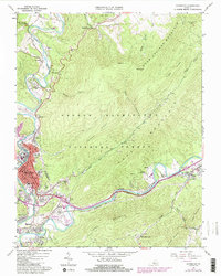
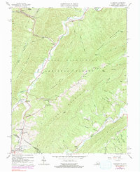
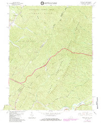
Historical Maps of Jerrys Run Through Time
14 maps found
1962 Covington
Alleghany County, VA
1966 Allegany
Alleghany County, VA
1966 Jerrys Run
Alleghany County, VA
1966 Jordan Mines
Alleghany County, VA
1966 Rucker Gap
Alleghany County, VA
1969 Longdale Furnace
Alleghany County, VA
1995 Jerrys Run
Alleghany County, VA
1995 Rucker Gap
Alleghany County, VA
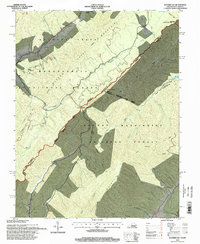
2022 Alleghany
Alleghany County, VA
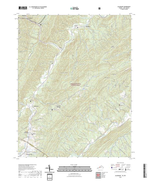
2022 Covington
Alleghany County, VA
2022 Jerrys Run
Alleghany County, VA
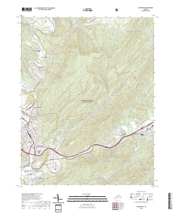
2022 Jordan Mines
Alleghany County, VA
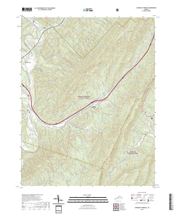
2022 Longdale Furnace
Alleghany County, VA
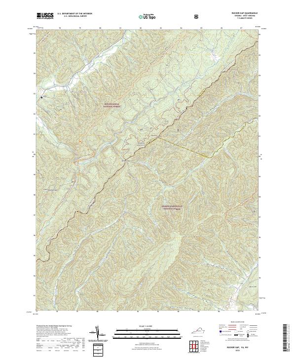
2022 Rucker Gap
Alleghany County, VA