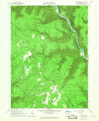
1965 Map of Jersey Mills
USGS Topo · Published 1967About this map
Pine Creek Gorge dominates this mid-1960s landscape, where the New York Central railroad follows the winding river corridor. The map reveals a transition between the dense timberlands of Tiadaghton State Forest and the Sproul State Forest, punctuated by small clusters of settlement at Jersey Mills and Haneyville. Human activity is primarily centered along the ridge tops and valley floors, connected by historic routes like the Old Coudersport Pike.
Find a feature on this map
61 named features on this map. Tap any name to fly to it.
Don’t see what you’re looking for? This feature index may not catch every label — zoom into the map to look around manually.
Map Details
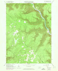
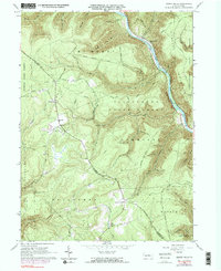
Editions of this 1965 Jersey Mills Map
3 editions found
Other maps of this area

1921 · Howard
USGS Topo · 1:48,000

1921 · Lock Haven
USGS Topo · 1:62,500

1923 · Howard
USGS Topo · 1:62,500

1923 · Lock Haven
USGS Topo · 1:62,500

1935 · Waterville
USGS Topo · 1:24,000

1937 · Waterville
USGS Topo · 1:48,000

1943 · Hyner
USGS Topo · 1:62,500

1943 · Waterville
USGS Topo · 1:62,500

1944 · Lock Haven
USGS Topo · 1:62,500

1946 · Renovo East
USGS Topo · 1:62,500
Featured Places
- Gallagher Township, PA
- Watson Township, PA
- McHenry Township, PA
- Cummings Township, PA
- Jersey Mills, McHenry Township