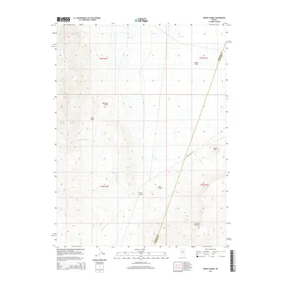
2014 Map of Jersey Summit
USGS Topo · Published 2014About this map
Jersey Summit serves as the topographic focus of this high-desert landscape on the border of Lander and Pershing counties. The terrain is defined by the sharp rise of the Fish Creek Mountains and the distinct peak known as Squaw Tit, overlooking the broad expanse of Buffalo Valley. This area shows a typical Great Basin drainage pattern, with seasonal watercourses like Jersey Valley Wash and Indian Cr carving through deep clefts such as Blue Lead Canyon and Lone Canyon. Human presence is sparse, represented primarily by the winding track of Buffalo Valley Rd, which navigates the flat valley floor between the mountain ranges. The map provides a clear picture of the land divisions in Jersey Valley, where the Public Land Survey System grid meets the natural obstacles of the Nevada desert.
Find a feature on this map
15 named features on this map. Tap any name to fly to it.
Don’t see what you’re looking for? This feature index may not catch every label — zoom into the map to look around manually.
Map Details
Editions of this 2014 Jersey Summit Map
This is the sole edition of this map. No revisions or reprints were ever made.
Other maps of this area

1932 · Sonoma Range
USGS Topo · 1:250,000

1939 · Sonoma Range
USGS Topo · 1:250,000

1955 · Winnemucca
USGS Topo · 1:250,000

1958 · Winnemucca
USGS Topo · 1:250,000

1961 · Mt. Tobin
USGS Topo · 1:62,500

1961 · Cain Mountain
USGS Topo · 1:62,500

1961 · Mt. Moses
USGS Topo · 1:62,500

1962 · Winnemucca
USGS Topo · 1:250,000

1962 · Buffalo Springs
USGS Topo · 1:62,500

1982 · Fish Creek Mts
USGS Topo · 1:100,000